Living in West Bromwich
West Bromwich is a town in Sandwell, West Midlands, England. This guide describes it as one place — who lives there, what sits inside its boundary and how safe it is — from official UK data. For any single street, the NestScope area report covers every West Bromwich postcode.
West Bromwich is a town of 102,744 people at 3,291 per km², where 13% of residents live in neighbourhoods in England's better-off half. 29 of its 32 inspected schools are rated Good or Outstanding, and it recorded 10 crimes per 1,000 residents a month.
Which part of West Bromwich?
- West Bromwich North
- Stone Cross & Hateley Heath
- Wednesbury South
- Charlemont
- West Bromwich East & Kenrick Park
- Yew Tree & Tamebridge
- Greets Green West
- Greets Green East
- Great Barr
- Hamstead East
- Hamstead West
- Friar Park
Or tap a spot on the map, or type a postcode:
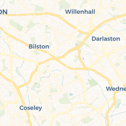
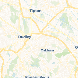
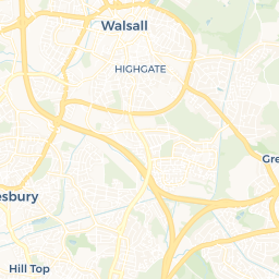
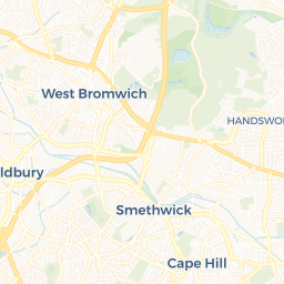
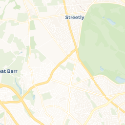
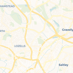 © OpenStreetMap · © CARTO
What's in West Bromwich: schools, GPs, stations, parks and shops
Counted inside the town boundary. A school or station two streets past it belongs to the next place.
Best-rated schools in West Bromwich
Ranked by Ofsted grade. All 41 schools → Schools in West Bromwich
West Bromwich crime rate
10crimes per 1,000 residents a month inside the town boundary · 2026-06 to 2026-08
More than the median English town of this size (9.8) · 1,028 recorded crimes a month in all
- Is West Bromwich a good place to live?
- West Bromwich has 102,744 residents, 13% of them in neighbourhoods in England's better-off half, 91% of its inspected schools are rated Good or Outstanding, and recorded crime (10 per 1,000 a month) is above the median English town of its size (9.8). Whether it is a good place to live depends on the street: the NestScope area report scores any West Bromwich postcode.
- Is West Bromwich safe?
- West Bromwich recorded 10 crimes per 1,000 residents a month inside the town boundary over 2026-06 to 2026-08 (police.uk), against 9.8 for the median English town of this size. The largest category was violent.
- How many people live in West Bromwich?
- 102,744 people live in West Bromwich (Census 2021, ONS built-up area), across 31.2 km² — about 3,291 per km².
- What are the schools like in West Bromwich?
- There are 41 schools inside West Bromwich; 91% of those inspected are rated Good or Outstanding by Ofsted. The top-rated include Delves Infant School, Grove Vale Primary School and Hargate Primary School.
- Where is West Bromwich?
- West Bromwich is a town in Sandwell, West Midlands, England, served by Bescot Stadium, Black Lake (West Midlands Metro), Dartmouth Street (West Midlands Metro), Dudley Street Guns Village (West Midlands Metro), Great Western Street (West Midlands Metro), Kenrick Park (West Midlands Metro), Lodge Road (West Midlands Metro), Sandwell & Dudley, Tame Bridge Parkway, Trinity Way (West Midlands Metro), Wednesbury Central (West Midlands Metro) and West Bromwich Central (West Midlands Metro) railway stations.
This page is NestScope's guide to West Bromwich as a whole town, built from the same official sources as the area reports: the ONS boundary of the built-up area, Census 2021, the English Indices of Deprivation, police.uk recorded crime and the Department for Education's school register. Counts are of what sits inside the boundary; crime is a three-month average. It is updated as those sources publish.
Sources — ONS built-up areas 2022, Output Area lookups and Census 2021 (OGL v3.0) · English Indices of Deprivation 2019, carried onto 2021 LSOAs · police.uk street-level crime, the town boundary passed as the query polygon · DfE GIAS + Ofsted, NHS ODS, NaPTAN, OS Open Greenspace, Geolytix, Arts Council — every point counted by which 2021 neighbourhood it falls in.