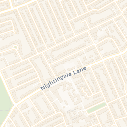
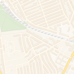
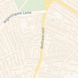
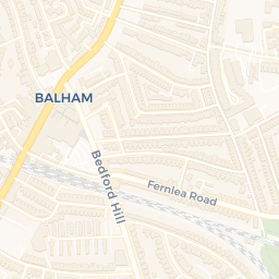
About SW2 4UT
SW2 4UT scores 71/100 on the NestScope Score, with its strongest showing in transport and local amenities — with 45 bus stops within walking distance. The breakdown below draws on official UK data covering schools, safety, healthcare, transport, environment and local amenities.
In national context, SW2 4UT is a mixed, mid-ranking neighbourhood — IMD decile 3/10, ranked 9,410 of 32,844 neighbourhoods in England. The Index of Multiple Deprivation is the UK government's official measure of relative deprivation, refreshed roughly every five years. Housing pressure here is high (IMD housing decile 3/10).
There are 115 schools within the typical catchment area, including 21 rated Outstanding by Ofsted and 51 rated Good. The nearest school is Richard Atkins Primary School (Ofsted: Good), 0.1 mi away.
There were 68 crimes reported on the surrounding streets in the most recent month, indicating an elevated level of immediate-area crime.
Healthcare access is good, with 46 GP surgeries, 1 hospital and 39 dental practices in the wider neighbourhood. The nearest GP practice is HMP BRIXTON, 0.4 mi away. The nearest hospital is THE LAMBETH HOSPITAL, 1.3 mi away. A pharmacy is within a short walk.