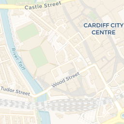
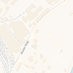

About CF10 1BH
CF10 1BH scores 79/100 on the NestScope Score, with its strongest showing in transport and schools — with Cardiff Central Rail Station 0.3 mi away. The breakdown below draws on official UK data covering schools, safety, healthcare, transport, environment and local amenities.
CF10 1BH sits outside England, so the national deprivation backbone (IMD) that anchors the NestScope Score isn't available — the figures below are based on local amenities only.
There are 41 schools within the typical catchment area. The nearest school is St Mary The Virgin C.I.W. Primary School, 0.5 mi away.
There were 415 crimes reported on the surrounding streets in the most recent month, indicating a high level of immediate-area crime.
Healthcare access is good, with 30 GP surgeries and 15 dental practices in the wider neighbourhood. The nearest GP practice is BRO TAF DEPUTY, 0.3 mi away. A pharmacy is 0.1 mi away.