


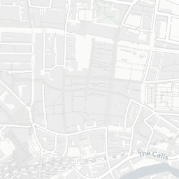


About LS1 4FX
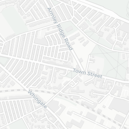
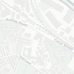
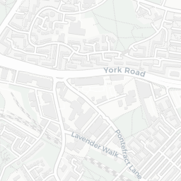
LS1 4FX scores 67/100 on the NestScope Score, with its strongest showing in transport and local amenities — with Leeds Rail Station about 10 minutes' walk away. The breakdown below draws on official UK data covering schools, safety, healthcare, transport, environment and local amenities.
In national context, LS1 4FX is an above-average neighbourhood — IMD decile 5/10, ranked 14,758 of 32,844 neighbourhoods in England. The Index of Multiple Deprivation is the UK government's official measure of relative deprivation, refreshed roughly every five years. Housing pressure here is low (IMD housing decile 8/10).
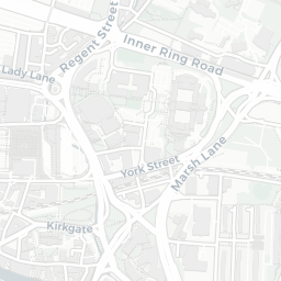
There are 70 schools within the typical catchment area, including 10 rated Outstanding by Ofsted and 31 rated Good. The nearest school is Luminate Education Group, about 2 minutes' walk away.
There were 90 crimes reported on the surrounding streets in the most recent month, indicating a high level of immediate-area crime.
Healthcare access is good, with 28 GP surgeries, 5 hospitals and 27 dental practices in the wider neighbourhood. The nearest GP practice is LITTLE WOODHOUSE HALL, about 6 minutes' walk away. The nearest hospital is NUFFIELD HEALTH LEEDS HOSPITAL, about 4 minutes' walk away. A pharmacy is about 9 minutes' walk away.
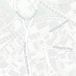
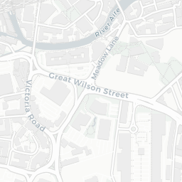
The nearest rail stations are Leeds Rail Station (Train, about 10 minutes' walk away). There are also 53 bus stops within walking distance.
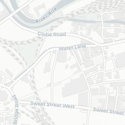
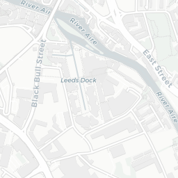
The location sits in Flood Zone 2 (medium risk — between a 1 in 100 and 1 in 1,000 annual chance), which may affect insurance and mortgage availability. road traffic noise is high (about 67 dB Lden), and rail noise is low (about 45 dB Lden).
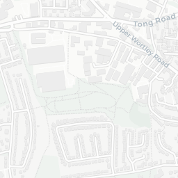
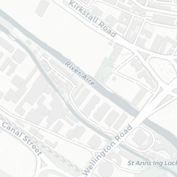
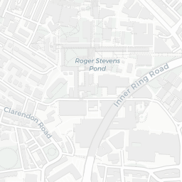
There are 13 green spaces within walking distance, totalling 5.5 hectares of parks and outdoor space. The nearest is Park (0.28 ha), within a short walk.
There are 67 supermarkets in the wider area, including The Co-operative Group, Sainsburys, Tesco, Morrisons and others. The nearest is Co-op Leeds - Burley Street, about 4 minutes' walk away. A public library is about 8 minutes' walk away.
Sources: DfE/Ofsted, UK Police API, NHS ODS, NaPTAN, Environment Agency, Ordnance Survey, Natural England, DEFRA, Geolytix and Arts Council England. For an interactive map view, explore LS1 4FX on NestScope.