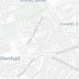

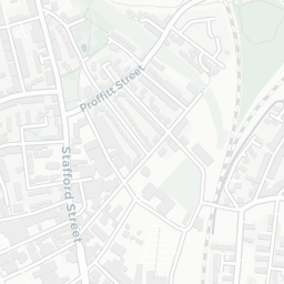
About WS2 0DN
WS2 0DN scores 49/100 on the NestScope Score, with its strongest showing in local amenities and healthcare — with Morrisons Daily Walsall Bentley Churchill Rd about 7 minutes' walk away. The main trade-off is its schools score. The breakdown below draws on official UK data covering schools, safety, healthcare, transport, environment and local amenities.
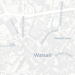
In national context, WS2 0DN is a more affordable, lower-income neighbourhood — IMD decile 2/10, ranked 3,630 of 32,844 neighbourhoods in England. The Index of Multiple Deprivation is the UK government's official measure of relative deprivation, refreshed roughly every five years. Housing pressure here is moderate (IMD housing decile 6/10).
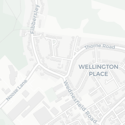
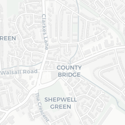
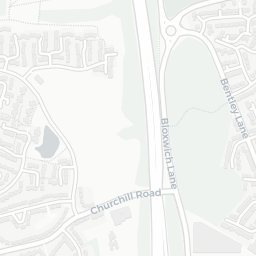
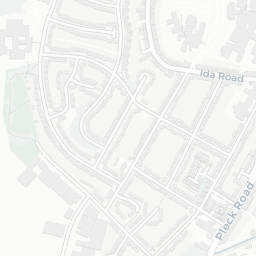
There are 64 schools within the typical catchment area, including 6 rated Outstanding by Ofsted and 37 rated Good. The nearest school is County Bridge Primary School (Ofsted: Good), about 2 minutes' walk away.
There were 15 crimes reported on the surrounding streets in the most recent month, indicating a low level of immediate-area crime.
Healthcare access is good, with 24 GP surgeries, 3 hospitals and 8 dental practices in the wider neighbourhood. The nearest GP practice is MODALITY KINGFISHER DARLASTON PRACTICE, about 7 minutes' walk away. The nearest hospital is DOROTHY PATTISON HOSPITAL, 1.0 mi away. A pharmacy is about 6 minutes' walk away.
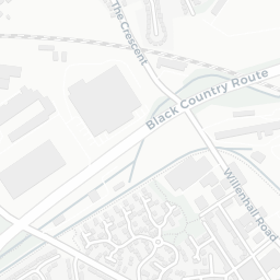
There are no train or Tube stations near WS2 0DN. Bus services provide the main public transport, with 28 bus stops in the immediate area.
The location is in Flood Zone 1 (low risk — less than a 1 in 1,000 annual chance of river or sea flooding). road traffic noise is low (about 51 dB Lden).
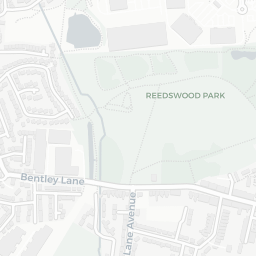
There are 16 green spaces within walking distance, totalling 22.3 hectares of parks and outdoor space. The nearest is Playground (0.39 ha), within a short walk.
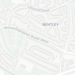
There are 33 supermarkets in the wider area, including Morrisons, Spar, Tesco, Asda and others. The nearest is Morrisons Daily Walsall Bentley Churchill Rd, about 7 minutes' walk away. A public library is 1.1 mi away.
Sources: DfE/Ofsted, UK Police API, NHS ODS, NaPTAN, Environment Agency, Ordnance Survey, Natural England, DEFRA, Geolytix and Arts Council England. For an interactive map view, explore WS2 0DN on NestScope.