About WD3 1LW
WD3 1LW scores 91/100 on the NestScope Score, with its strongest showing in schools and transport — with Merchant Taylors' Prep School within a short walk. The breakdown below draws on official UK data covering schools, safety, healthcare, transport, environment and local amenities.
In national context, WD3 1LW is one of the most affluent neighbourhoods in England — IMD decile 10/10, ranked 32,666 of 32,844 neighbourhoods in England. The Index of Multiple Deprivation is the UK government's official measure of relative deprivation, refreshed roughly every five years. Housing pressure here is moderate (IMD housing decile 5/10).
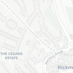
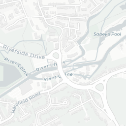
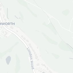
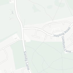
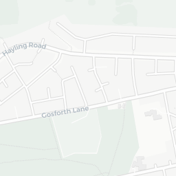
There are 33 schools within the typical catchment area, including 7 rated Outstanding by Ofsted and 12 rated Good. The nearest school is Merchant Taylors' Prep School, within a short walk.
There were 3 crimes reported on the surrounding streets in the most recent month, indicating a very low level of immediate-area crime.
Healthcare access is good, with 8 GP surgeries, 2 hospitals and 6 dental practices in the wider neighbourhood. The nearest GP practice is MICHAEL SOBELL HOSPICE, 1.2 mi away. The nearest hospital is MOUNT VERNON HOSPITAL, 1.3 mi away. A pharmacy is 1.1 mi away.
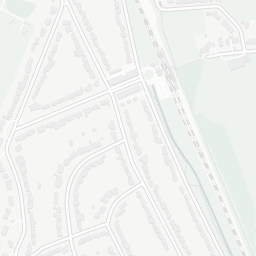
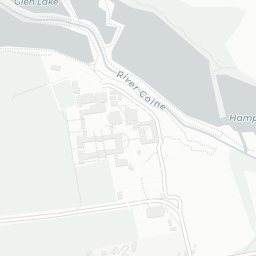
The nearest rail stations are Moor Park Underground Station (Tube/Metro, about 6 minutes' walk away). There is also 1 bus stop within walking distance.
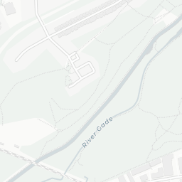
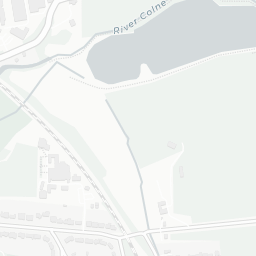
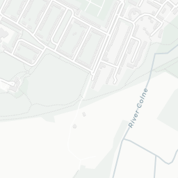
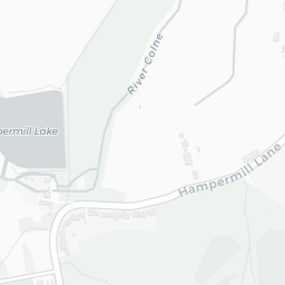
The location is in Flood Zone 1 (low risk — less than a 1 in 1,000 annual chance of river or sea flooding). rail noise is moderate (about 64 dB Lden).
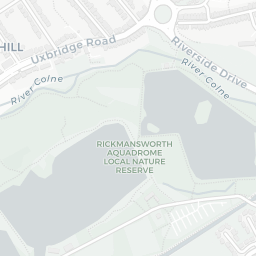
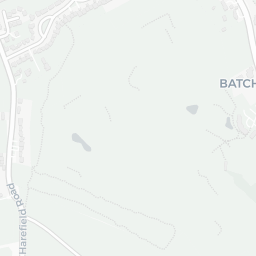
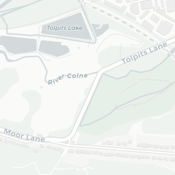
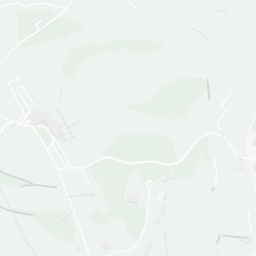
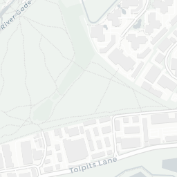
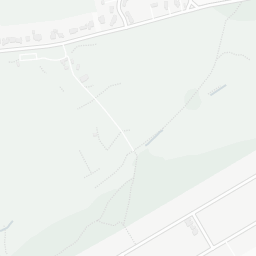
There are no mapped green spaces within walking distance of WD3 1LW, though formal parks aren't the whole picture in more rural spots. It also lies just beside a nature reserve (about 3 minutes' walk away), adding open countryside that isn't recorded as a formal park.
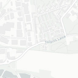
There are 15 supermarkets in the wider area, including Asda, The Co-operative Group, Morrisons, Spar and others. The nearest is Asda Sandy Lodge Express Petrol, 0.9 mi away. A public library is 1.1 mi away.
Sources: DfE/Ofsted, UK Police API, NHS ODS, NaPTAN, Environment Agency, Ordnance Survey, Natural England, DEFRA, Geolytix and Arts Council England. For an interactive map view, explore WD3 1LW on NestScope.