


About W6 9LR
W6 9LR scores 61/100 on the NestScope Score, with its strongest showing in schools and local amenities — with Latymer Upper School and Latymer Prep within a short walk. The main trade-off is its safety score. The breakdown below draws on official UK data covering schools, safety, healthcare, transport, environment and local amenities.
In national context, W6 9LR is a mixed, mid-ranking neighbourhood — IMD decile 4/10, ranked 10,242 of 32,844 neighbourhoods in England. The Index of Multiple Deprivation is the UK government's official measure of relative deprivation, refreshed roughly every five years. Housing pressure here is high (IMD housing decile 1/10).
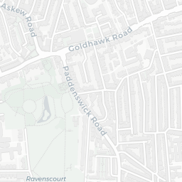
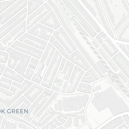
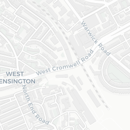
There are 127 schools within the typical catchment area, including 25 rated Outstanding by Ofsted and 50 rated Good. The nearest school is Latymer Upper School and Latymer Prep, within a short walk.
There were 68 crimes reported on the surrounding streets in the most recent month, indicating a elevated level of immediate-area crime.
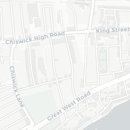
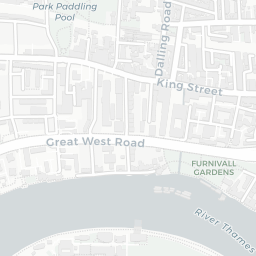
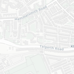
Healthcare access is good, with 40 GP surgeries, 1 hospital and 46 dental practices in the wider neighbourhood. The nearest GP practice is PES@SPECSAVERS HAMMERSMITH, NWL, about 8 minutes' walk away. The nearest hospital is CHARING CROSS HOSPITAL, 0.8 mi away. A pharmacy is about 11 minutes' walk away.
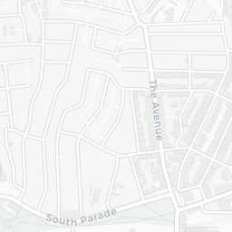
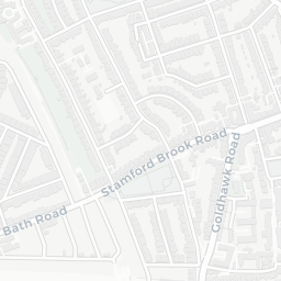
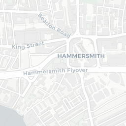
The nearest rail stations are Ravenscourt Park Underground Station (Tube/Metro, about 2 minutes' walk away), Stamford Brook Underground Station (Tube/Metro, about 8 minutes' walk away). There are also 32 bus stops within walking distance.
The location sits in Flood Zone 3 (high risk — between a 1 in 100 and 1 in 200 annual chance of river or sea flooding), which may affect insurance and mortgage availability. road traffic noise is moderate (about 61 dB Lden), and rail noise is low (about 47 dB Lden).
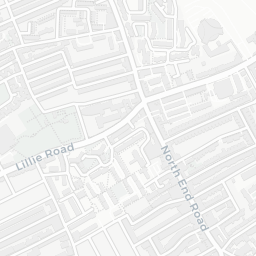
There are 16 green spaces within walking distance, totalling 16.5 hectares of parks and outdoor space. The nearest is Playground (100 m²), about 2 minutes' walk away. It also lies just beside a nature reserve (about 9 minutes' walk away), adding open countryside that isn't recorded as a formal park.
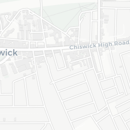
There are 96 supermarkets in the wider area, including Marks and Spencer, Tesco, Sainsburys, Iceland and others. The nearest is M&S Cromwell Sth BP, about 3 minutes' walk away. A public library is about 12 minutes' walk away.
Sources: DfE/Ofsted, UK Police API, NHS ODS, NaPTAN, Environment Agency, Ordnance Survey, Natural England, DEFRA, Geolytix and Arts Council England. For an interactive map view, explore W6 9LR on NestScope.