The large figure is how many we found nearby; the chip beside each label is that category’s NestScope score out of 100 — higher beats more of the UK.
Schools69/100
7Good/Outstanding within 1 mi
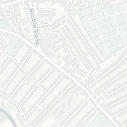
35 rated Good or better within 2 mi · 70 schools in total
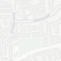
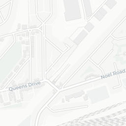
Nearest top-rated: Christ the Saviour Church of England Primary School (Good) — 0.1 mi
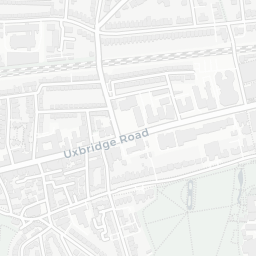
Safety30/100
168crimes last month
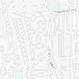
IMD crime decile 1/10 · 168 crimes in 400m last month (residential-weighted: 80.5)
Crimes reported last month · UK Police API
Healthcare88/100
31GP & hospitals
IMD health decile 7/10 · 29 GP, 2 hospitals, 34 dentists, pharmacy 0.1 mi within 1.5 mi
Nearest GP: BRAMLEY PHARMACY — 0.1 mi
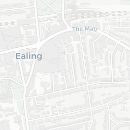
Transport85/100
Ealing Broadway Rail Station0.1 mi
Ealing Broadway Underground Station0.1 mi
36 bus stops also within 0.5 miles
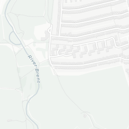
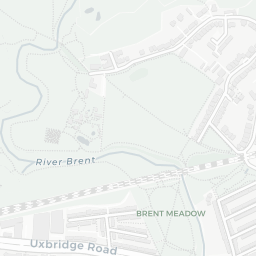
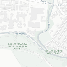
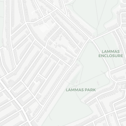
Green space66/100
10green spaces
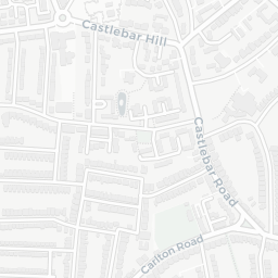
IMD environment decile 2/10 · beside open access land (31 ha total — largest park 13 ha (0.41 mi away))
Nearest: Parish Church of Christ the Saviour — 0.1 mi
Amenities95/100
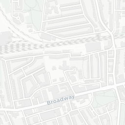
55supermarkets
55 supermarkets within 2 mi — Sainsburys, Marks and Spencer, Morrisons, Tesco… — nearest 0.0 mi — library 0.1 mi
Nearest: Sainsburys Ealing Broadway Local — 0.0 mi