NestScope
W1W 5HA · Neighbourhood Report
© OpenStreetMap · © CARTO
Area Report
Last updated 16 JUN 2026

W1W 5HA

Neighbourhood Report

What's nearby — across walking, short-drive and school catchment distance. Data from official UK government sources.

NestScope Score
70/ 100

An above-average neighbourhood

Anchored on official IMD data — decile 6/10, ranked 18,090 of 32,844 neighbourhoods in England.

How this score is calculated
01 — Snapshot

Around W1W 5HA.

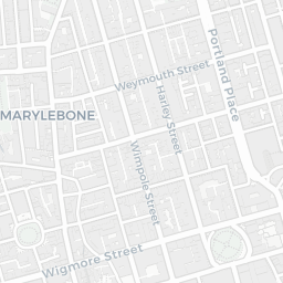
The large figure is how many we found nearby; the chip beside each label is that category’s NestScope score out of 100 — higher beats more of the UK.

Schools68/100
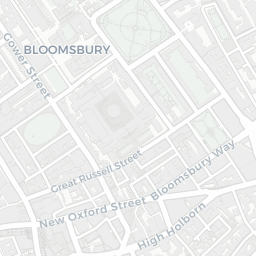
13Good/Outstanding within 1 mi

67 rated Good or better within 2 mi · 144 schools in total

Nearest top-rated: St Vincent's Catholic Primary School (Outstanding) — 0.4 mi

Safety64/100
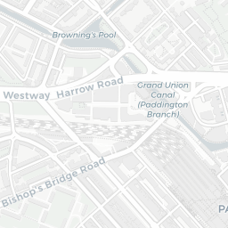
161crimes last month

IMD crime decile 8/10 · 161 crimes in 400m last month (residential-weighted: 106.7)

Crimes reported last month · UK Police API

Healthcare90/100
92GP & hospitals

IMD health decile 8/10 · 73 GP, 19 hospitals, 109 dentists, pharmacy 0.1 mi within 1.5 mi

Nearest GP: RTN MEDICAL ADHD: DEVON ICB — 0.0 mi
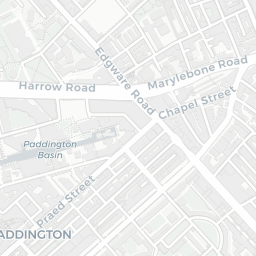
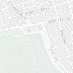
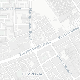
Transport89/100
Regent's Park Underground Station0.2 mi
Great Portland Street Underground Station0.2 mi
Warren Street Underground Station0.3 mi

43 bus stops also within 0.5 miles
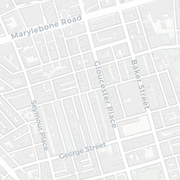
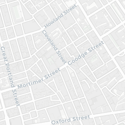
Green space53/100
17green spaces

IMD environment decile 2/10 · 7.3 ha total — no proper park nearby

Nearest: Crescent Gardens — 0.2 mi

Amenities95/100
161supermarkets

161 supermarkets within 2 mi — Sainsburys, Tesco, Marks and Spencer, Lidl… — nearest 0.1 mi — library 0.3 mi

Nearest: Sainsburys Great Portland Street Local — 0.1 mi

02 — Environment

Environment & risk near W1W 5HA.

Official risk flags for context — deliberately not part of the NestScope score (they’re categorical hazards, not amenities).

Flood risk
Zone 1 (low)

Flood Zone 1 — low risk (less than 1 in 1,000 annual chance) · Source: Environment Agency Flood Map for Planning

Zone 1
Zone 2
Zone 3
Air qualityModerate
29.8µg/m³

NO₂ annual mean · WHO guideline 10 · UK limit 40 · Source: DEFRA UK-AIR 2024

<10
10–20
20–30
30–40
≥40
Road noiseModerate
61dB Lden

Road traffic, day-evening-night average · Source: DEFRA strategic noise mapping

<55
55–64
65–74
≥75
03 — House prices

Sold prices in W1W.

Average sold price by property type across the W1W district, 20212026213 sales.

£0£2M£4M£6M202120222023202420252026
  • Semi-detached
  • Terraced
  • Flat
Semi-detached
Terraced
Flat£773k 28.0%

District-level averages (W1W) — broad enough to show a reliable trend. A single postcode usually sees too few sales to chart. Source: HM Land Registry Price Paid Data (Crown Copyright / OGL v3.0).

About W1W 5HA

W1W 5HA scores 70/100 on the NestScope Score, with its strongest showing in local amenities and healthcare — with Sainsburys Great Portland Street Local within a short walk. The breakdown below draws on official UK data covering schools, safety, healthcare, transport, environment and local amenities.

Explore area insights about nearby locations

Data: DfE/Ofsted · UK Police API · NHS ODS · NaPTAN · Ordnance Survey · Geolytix. Crown Copyright / OGL. Look up any postcode: nestscope.uk/area/YOUR+POSTCODE — e.g. SW1A 1AA, M1 1AE, BS1 1HT.