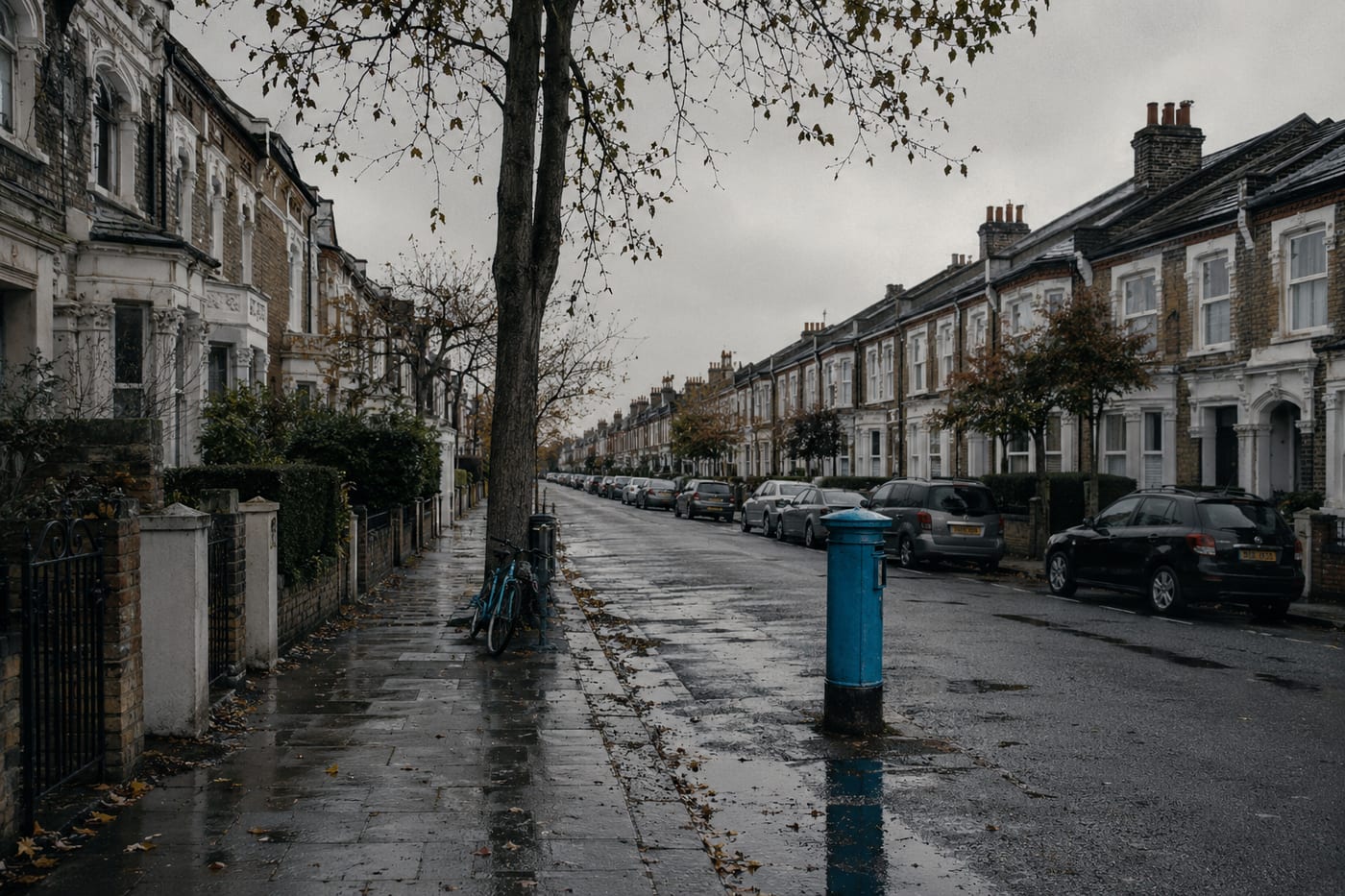
About W1D 3AF
W1D 3AF is a UK postcode. This report summarises schools, safety, healthcare, transport, green spaces, flood risk, and local shops within a 0.5-mile radius, using data from official UK government sources.
There are 6 schools within 0.5 miles of W1D 3AF. The nearest school is Soho Parish CofE Primary School (Ofsted: Requires Improvement), 0.2 miles away.
There were 2618 crimes reported within 0.5 miles of W1D 3AF in the most recent month. This represents a high level of crime. Data is sourced from the UK Police API, which covers all 43 police forces in England and Wales.
Healthcare access is good, with 12 GP surgeries within 0.5 miles. The nearest GP practice is GREAT CHAPEL STREET MEDICAL CENTRE, within a short walk.
The nearest rail stations are Tottenham Court Road Underground Station (Train, 0.2 miles away), Tottenham Court Road Underground Station (Train, 0.2 miles away), Leicester Square Underground Station (Train, 0.2 miles away), Tottenham Court Road Underground Station (Tube/Metro, 0.2 miles away), Leicester Square Underground Station (Tube/Metro, 0.3 miles away), Piccadilly Circus Underground Station (Tube/Metro, 0.3 miles away). There are also 60 bus stops within 0.5 miles.
This location is in Flood Zone 1 (low risk — less than 1 in 1,000 annual chance of flooding). Data from the Environment Agency.
The area around W1D 3AF has 13 green spaces totalling 3.8 hectares within 0.5 miles. The nearest is Park (0.44 ha), within a short walk.
There are 16 supermarkets within 0.5 miles, including Marks and Spencer, The Co-operative Group, Tesco, Sainsburys and others. The nearest is M&S Shaftesbury Avenue, 0.1 miles away.
This data is sourced from DfE/Ofsted, the UK Police API, NHS ODS, NaPTAN, the Environment Agency, Ordnance Survey, and Geolytix. For a detailed interactive view, explore W1D 3AF on the NestScope map.