
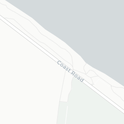
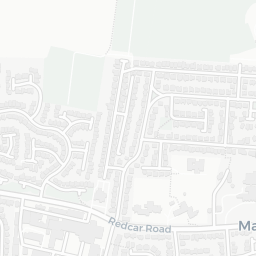

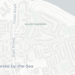
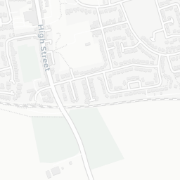


About TS11 6AE
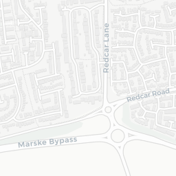
TS11 6AE scores 82/100 on the NestScope Score, with its strongest showing in safety and local amenities — with only 2 crimes reported on the surrounding streets last month. The breakdown below draws on official UK data covering schools, safety, healthcare, transport, environment and local amenities.
In national context, TS11 6AE is a well-off neighbourhood — IMD decile 8/10, ranked 24,523 of 32,844 neighbourhoods in England. The Index of Multiple Deprivation is the UK government's official measure of relative deprivation, refreshed roughly every five years. Housing pressure here is low (IMD housing decile 10/10).
There are 13 schools within the typical catchment area, including 10 rated Good. The nearest school is St Bede's Catholic Primary School (Ofsted: Good), within a short walk.
There were 2 crimes reported on the surrounding streets in the most recent month, indicating a very low level of immediate-area crime.
Healthcare access is available, with 1 GP surgery and 2 dental practices in the wider neighbourhood. The nearest GP practice is ZETLAND MEDICAL PRACTICE, about 5 minutes' walk away. A pharmacy is about 5 minutes' walk away.
The nearest rail stations are Longbeck Rail Station (Train, about 6 minutes' walk away), Marske Rail Station (Train, about 9 minutes' walk away). There are also 19 bus stops within walking distance.
The location is in Flood Zone 1 (low risk — less than a 1 in 1,000 annual chance of river or sea flooding). road traffic noise is low (about 51 dB Lden).
There are 12 green spaces within walking distance, totalling 8.4 hectares of parks and outdoor space. The nearest is St Mark's Church, about 4 minutes' walk away.
There are 7 supermarkets in the wider area, including Sainsburys, The Co-operative Group, Morrisons, Aldi. The nearest is Sainsburys Marske Local, about 5 minutes' walk away. A public library is about 7 minutes' walk away.
Sources: DfE/Ofsted, UK Police API, NHS ODS, NaPTAN, Environment Agency, Ordnance Survey, Natural England, DEFRA, Geolytix and Arts Council England. For an interactive map view, explore TS11 6AE on NestScope.