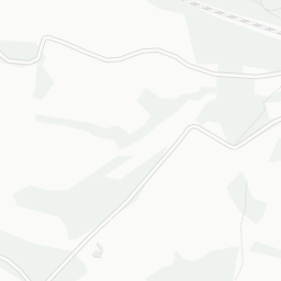


About TN5 7EL
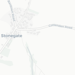
TN5 7EL scores 75/100 on the NestScope Score, with its strongest showing in schools and safety — with Bricklehurst Manor School within a short walk. The breakdown below draws on official UK data covering schools, safety, healthcare, transport, environment and local amenities.
In national context, TN5 7EL is a well-off neighbourhood — IMD decile 7/10, ranked 22,532 of 32,844 neighbourhoods in England. The Index of Multiple Deprivation is the UK government's official measure of relative deprivation, refreshed roughly every five years. Housing pressure here is high (IMD housing decile 2/10).
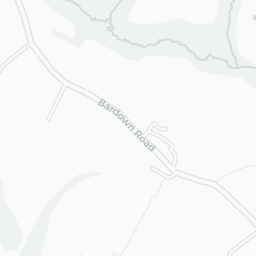
There are 3 schools within the typical catchment area, including 2 rated Good. The nearest school is Bricklehurst Manor School, within a short walk.
No crimes were reported on the surrounding streets in the most recent month, consistent with a very low local crime profile.
Healthcare access is available, with 1 dental practice in the wider neighbourhood.
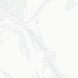
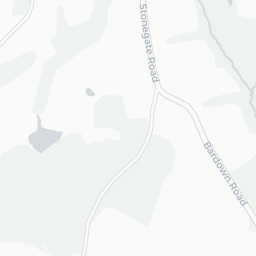
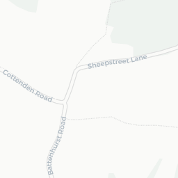
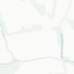
There are no public transport stops near TN5 7EL, making this a more car-dependent location.
The location is in Flood Zone 1 (low risk — less than a 1 in 1,000 annual chance of river or sea flooding). road traffic noise is low (about 46 dB Lden).
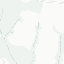
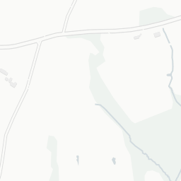
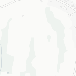
There are no mapped green spaces within walking distance of TN5 7EL, though formal parks aren't the whole picture in more rural spots. The postcode sits within a AONB, giving it open countryside on the doorstep that isn't recorded as a formal park.
There are no supermarkets in the immediate area around TN5 7EL. Grocery shopping may require a car or delivery service.
Sources: DfE/Ofsted, UK Police API, NHS ODS, NaPTAN, Environment Agency, Ordnance Survey, Natural England, DEFRA, Geolytix and Arts Council England. For an interactive map view, explore TN5 7EL on NestScope.