NestScope
TN2 3UB · Neighbourhood Report
© OpenStreetMap · © CARTO
Area Report
Last updated 13 JUN 2026

TN2 3UB

Neighbourhood Report

What's nearby — across walking, short-drive and school catchment distance. Data from official UK government sources.

NestScope Score
61/ 100

A mixed, mid-ranking neighbourhood

Anchored on official IMD data — decile 4/10, ranked 11,911 of 32,844 neighbourhoods in England.

How this score is calculated
01 — Snapshot

Around TN2 3UB.

The large figure is how many we found nearby; the chip beside each label is that category’s NestScope score out of 100 — higher beats more of the UK.

Safety61/100
14crimes last month

IMD crime decile 5/10 · 14 crimes in 400m last month (residential-weighted: 11.9)

Crimes reported last month · UK Police API

Healthcare78/100
12GP & hospitals

IMD health decile 4/10 · 7 GP, 5 hospitals, 14 dentists, pharmacy 0.2 mi within 1.5 mi

Nearest GP: SPELDHURST & GREGGSWOOD MEDICAL GROUP — 0.2 mi

Transport74/100
High Brooms Rail Station0.4 mi

28 bus stops also within 0.5 miles

Green space86/100
18green spaces

IMD environment decile 9/10 · within AONB (30.1 ha total — largest park 14.3 ha (0.36 mi away))

Nearest: Playground (600 m²) — 0.0 mi

Amenities84/100
18supermarkets

18 supermarkets within 2 mi — Budgens, The Co-operative Group, Marks and Spencer, Asda… — nearest 0.2 mi — library 0.1 mi

Nearest: Budgens Sherwood — 0.2 mi

02 — Environment

Environment & risk near TN2 3UB.

Official risk flags for context — deliberately not part of the NestScope score (they’re categorical hazards, not amenities).

Flood risk
Zone 1 (low)

Flood Zone 1 — low risk (less than 1 in 1,000 annual chance) · Source: Environment Agency Flood Map for Planning

Zone 1
Zone 2
Zone 3
Air qualityWithin WHO guideline
7.7µg/m³

NO₂ annual mean · WHO guideline 10 · UK limit 40 · Source: DEFRA UK-AIR 2024

<10
10–20
20–30
30–40
≥40
Road noiseQuiet
46dB Lden

Road traffic, day-evening-night average · Source: DEFRA strategic noise mapping

<55
55–64
65–74
≥75
03 — House prices

Sold prices in TN2.

Average sold price by property type across the TN2 district, 202120263,088 sales.

£0£250k£500k£750k£1M202120222023202420252026
  • Detached
  • Semi-detached
  • Terraced
  • Flat
Detached£721k 14.0%
Semi-detached£517k 2.2%
Terraced£420k 9.5%
Flat£301k 23.0%

District-level averages (TN2) — broad enough to show a reliable trend. A single postcode usually sees too few sales to chart. Source: HM Land Registry Price Paid Data (Crown Copyright / OGL v3.0).

About TN2 3UB

TN2 3UB scores 61/100 on the NestScope Score, with its strongest showing in green space and local amenities — sitting within a AONB. The breakdown below draws on official UK data covering schools, safety, healthcare, transport, environment and local amenities.

In national context, TN2 3UB is a mixed, mid-ranking neighbourhood — IMD decile 4/10, ranked 11,911 of 32,844 neighbourhoods in England. The Index of Multiple Deprivation is the UK government's official measure of relative deprivation, refreshed roughly every five years. Housing pressure here is moderate (IMD housing decile 6/10).

There are 25 schools within the typical catchment area, including 2 rated Outstanding by Ofsted and 14 rated Good. The nearest school is Skinners' Temple Grove (Ofsted: Good), within a short walk.

There were 14 crimes reported on the surrounding streets in the most recent month, indicating a low level of immediate-area crime.

Healthcare access is good, with 7 GP surgeries, 5 hospitals and 14 dental practices in the wider neighbourhood. The nearest GP practice is SPELDHURST & GREGGSWOOD MEDICAL GROUP, about 3 minutes' walk away. The nearest hospital is NUFFIELD HEALTH - TUNBRIDGE WELLS HOSPITAL, 1.0 mi away. A pharmacy is about 3 minutes' walk away.

The nearest rail stations are High Brooms Rail Station (Train, about 9 minutes' walk away). There are also 28 bus stops within walking distance.

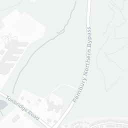
The location is in Flood Zone 1 (low risk — less than a 1 in 1,000 annual chance of river or sea flooding). road traffic noise is low (about 46 dB Lden).

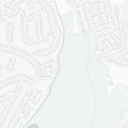
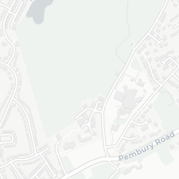
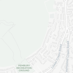
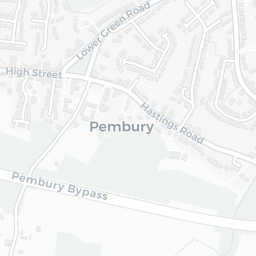
There are 18 green spaces within walking distance, totalling 30.1 hectares of parks and outdoor space. The nearest is Playground (600 m²), within a short walk. The postcode sits within a AONB, giving it open countryside on the doorstep that isn't recorded as a formal park.

There are 18 supermarkets in the wider area, including Budgens, The Co-operative Group, Marks and Spencer, Asda and others. The nearest is Budgens Sherwood, about 4 minutes' walk away. A public library is about 2 minutes' walk away.

Sources: DfE/Ofsted, UK Police API, NHS ODS, NaPTAN, Environment Agency, Ordnance Survey, Natural England, DEFRA, Geolytix and Arts Council England. For an interactive map view, explore TN2 3UB on NestScope.

Explore area insights about nearby locations

Data: DfE/Ofsted · UK Police API · NHS ODS · NaPTAN · Ordnance Survey · Geolytix. Crown Copyright / OGL. Look up any postcode: nestscope.uk/area/YOUR+POSTCODE — e.g. SW1A 1AA, M1 1AE, BS1 1HT.

NestScope

All data from publicly available UK government sources. Each dimension uses a category-appropriate radius (walking distance for crime and transport, school catchment, drive distance for healthcare). IMD context is the latest published English Indices of Deprivation (2019). This report is for informational purposes only.