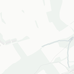
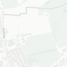
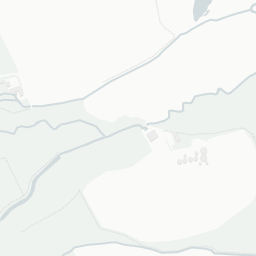
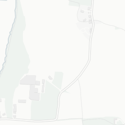
NestScope
TA5 2HP · Neighbourhood Report
© OpenStreetMap · © CARTO
Area Report
Last updated 13 JUN 2026

TA5 2HP

Neighbourhood Report

What's nearby — across walking, short-drive and school catchment distance. Data from official UK government sources.

NestScope Score
61/ 100

An above-average neighbourhood

Anchored on official IMD data — decile 5/10, ranked 14,318 of 32,844 neighbourhoods in England.

How this score is calculated
01 — Snapshot

Around TA5 2HP.

The large figure is how many we found nearby; the chip beside each label is that category’s NestScope score out of 100 — higher beats more of the UK.

Schools52/100
1Good/Outstanding within 1 mi

3 rated Good or better within 2 mi · 4 schools in total

Nearest top-rated: Brymore Academy (Good) — 0.8 mi

Safety91/100
1crimes last month

IMD crime decile 9/10 · 1 crime in 400m last month (residential-weighted: 1)

Crimes reported last month · UK Police API

Healthcare56/100
1GP & hospitals

IMD health decile 4/10 · 1 GP within 1.5 mi

Nearest GP: CANNINGTON HEALTH CENTRE — 0.1 mi

Transport52/100

No rail stations within 0.5 miles · 8 bus stops nearby

Green space66/100
9green spaces

IMD environment decile 5/10 · 6.5 ha total — largest park 3.2 ha (0.36 mi away)

Nearest: St Mary's Church — 0.1 mi

Amenities45/100
1supermarkets

1 supermarket within 2 mi — Budgens

Nearest: Budgens Wembdon Service Station — 1.5 mi

02 — Environment

Environment & risk near TA5 2HP.

Official risk flags for context — deliberately not part of the NestScope score (they’re categorical hazards, not amenities).

Flood risk
Zone 2 (medium)

Flood Zone 2 — medium risk (1 in 100 to 1 in 1,000) · Source: Environment Agency Flood Map for Planning

Zone 1
Zone 2
Zone 3
Air qualityWithin WHO guideline
4.5µg/m³

NO₂ annual mean · WHO guideline 10 · UK limit 40 · Source: DEFRA UK-AIR 2024

<10
10–20
20–30
30–40
≥40
Road noiseModerate
57dB Lden

Road traffic, day-evening-night average · Source: DEFRA strategic noise mapping

<55
55–64
65–74
≥75

About TA5 2HP

TA5 2HP scores 61/100 on the NestScope Score, with its strongest showing in safety and green space — with only 1 crime reported on the surrounding streets last month. The breakdown below draws on official UK data covering schools, safety, healthcare, transport, environment and local amenities.

In national context, TA5 2HP is an above-average neighbourhood — IMD decile 5/10, ranked 14,318 of 32,844 neighbourhoods in England. The Index of Multiple Deprivation is the UK government's official measure of relative deprivation, refreshed roughly every five years. Housing pressure here is low (IMD housing decile 10/10).

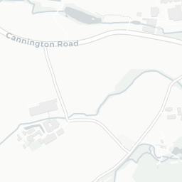
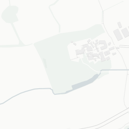
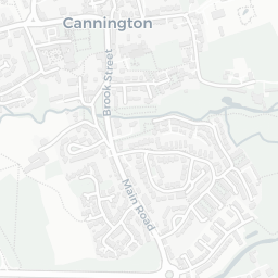
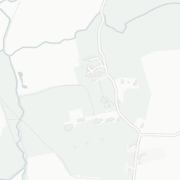
There are 4 schools within the typical catchment area, including 3 rated Good. The nearest school is Cannington Church of England Primary School, within a short walk.

There was 1 crime reported on the surrounding streets in the most recent month, indicating a very low level of immediate-area crime.

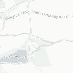
Healthcare access is available, with 1 GP surgery in the wider neighbourhood. The nearest GP practice is CANNINGTON HEALTH CENTRE, about 3 minutes' walk away.

There are no train or Tube stations near TA5 2HP. Bus services provide the main public transport, with 8 bus stops in the immediate area.

The location sits in Flood Zone 2 (medium risk — between a 1 in 100 and 1 in 1,000 annual chance), which may affect insurance and mortgage availability. road traffic noise is moderate (about 57 dB Lden).

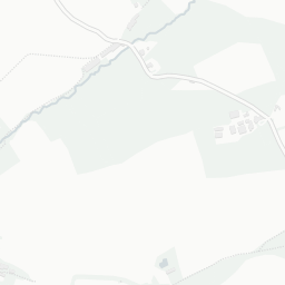
There are 9 green spaces within walking distance, totalling 6.5 hectares of parks and outdoor space. The nearest is St Mary's Church, within a short walk.

There is 1 supermarket in the wider area, including Budgens. The nearest is Budgens Wembdon Service Station, 1.5 mi away.

Sources: DfE/Ofsted, UK Police API, NHS ODS, NaPTAN, Environment Agency, Ordnance Survey, Natural England, DEFRA, Geolytix and Arts Council England. For an interactive map view, explore TA5 2HP on NestScope.

Explore area insights about nearby locations

Data: DfE/Ofsted · UK Police API · NHS ODS · NaPTAN · Ordnance Survey · Geolytix. Crown Copyright / OGL. Look up any postcode: nestscope.uk/area/YOUR+POSTCODE — e.g. SW1A 1AA, M1 1AE, BS1 1HT.

NestScope

All data from publicly available UK government sources. Each dimension uses a category-appropriate radius (walking distance for crime and transport, school catchment, drive distance for healthcare). IMD context is the latest published English Indices of Deprivation (2019). This report is for informational purposes only.