NestScope
TA24 5XA · Neighbourhood Report
© OpenStreetMap · © CARTO
Area Report
Last updated 17 JUN 2026

TA24 5XA

Neighbourhood Report

What's nearby — across walking, short-drive and school catchment distance. Data from official UK government sources.

NestScope Score
68/ 100

An above-average neighbourhood

Anchored on official IMD data — decile 6/10, ranked 18,357 of 32,844 neighbourhoods in England.

How this score is calculated
01 — Snapshot

Around TA24 5XA.

The large figure is how many we found nearby; the chip beside each label is that category’s NestScope score out of 100 — higher beats more of the UK.

Schools63/100
2Good/Outstanding within 1 mi

2 rated Good or better within 2 mi · 5 schools in total

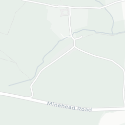
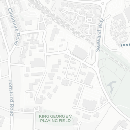
Nearest top-rated: St Michael's Church of England First School (Good) — 0.2 mi

Safety69/100
21crimes last month

IMD crime decile 8/10 · 21 crimes in 400m last month (residential-weighted: 12.5)

Crimes reported last month · UK Police API

Healthcare80/100
2GP & hospitals

IMD health decile 6/10 · 1 GP, 1 hospital, 3 dentists, pharmacy 0.1 mi within 1.5 mi

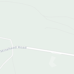
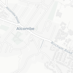
Nearest GP: MINEHEAD MEDICAL CENTRE — 0.1 mi
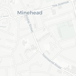
Transport65/100

No rail stations within 0.5 miles · 28 bus stops nearby

Green space69/100
10green spaces

IMD environment decile 6/10 · 10 ha total — largest park 3 ha (0.35 mi away)

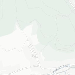
Nearest: Church of the Sacred Heart — 0.2 mi

Amenities93/100
7supermarkets

7 supermarkets within 2 mi — Morrisons, Iceland, The Co-operative Group, Lidl… — nearest 0.1 mi — library 0.1 mi

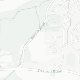
Nearest: Morrisons Daily Minehead Park Street — 0.1 mi

02 — Environment

Environment & risk near TA24 5XA.

Official risk flags for context — deliberately not part of the NestScope score (they’re categorical hazards, not amenities).

Flood risk
Zone 1 (low)

Flood Zone 1 — low risk (less than 1 in 1,000 annual chance) · Source: Environment Agency Flood Map for Planning

Zone 1
Zone 2
Zone 3
Air qualityWithin WHO guideline
3.5µg/m³

NO₂ annual mean · WHO guideline 10 · UK limit 40 · Source: DEFRA UK-AIR 2024

<10
10–20
20–30
30–40
≥40
Road noiseQuiet
49dB Lden

Road traffic, day-evening-night average · Source: DEFRA strategic noise mapping

<55
55–64
65–74
≥75
03 — House prices

Sold prices in TA24.

Average sold price by property type across the TA24 district, 202120261,817 sales.

£0£200k£400k£600k202120222023202420252026
  • Detached
  • Semi-detached
  • Terraced
  • Flat
Detached£434k 1.2%
Semi-detached£329k 13.3%
Terraced£270k 13.8%
Flat£133k 22.1%

District-level averages (TA24) — broad enough to show a reliable trend. A single postcode usually sees too few sales to chart. Source: HM Land Registry Price Paid Data (Crown Copyright / OGL v3.0).

About TA24 5XA

TA24 5XA scores 68/100 on the NestScope Score, with its strongest showing in local amenities and healthcare — with Morrisons Daily Minehead Park Street within a short walk. The breakdown below draws on official UK data covering schools, safety, healthcare, transport, environment and local amenities.

Explore area insights about nearby locations

Data: DfE/Ofsted · UK Police API · NHS ODS · NaPTAN · Ordnance Survey · Geolytix. Crown Copyright / OGL. Look up any postcode: nestscope.uk/area/YOUR+POSTCODE — e.g. SW1A 1AA, M1 1AE, BS1 1HT.