
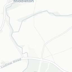
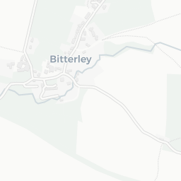
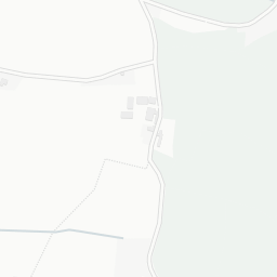
About SY8 3HF
SY8 3HF scores 65/100 on the NestScope Score, with its strongest showing in safety and schools — with only 1 crime reported on the surrounding streets last month. The breakdown below draws on official UK data covering schools, safety, healthcare, transport, environment and local amenities.
In national context, SY8 3HF is a mixed, mid-ranking neighbourhood — IMD decile 4/10, ranked 12,658 of 32,844 neighbourhoods in England. The Index of Multiple Deprivation is the UK government's official measure of relative deprivation, refreshed roughly every five years. Housing pressure here is high (IMD housing decile 1/10).
There is 1 school within the typical catchment area, including 1 rated Good. The nearest school is Bitterley CofE Primary School (Aided) (Ofsted: Good), about 2 minutes' walk away.
There was 1 crime reported on the surrounding streets in the most recent month, indicating a very low level of immediate-area crime.
There are no GP surgeries, hospitals or pharmacies within easy reach of SY8 3HF. Residents may need to travel further for healthcare access.
There are no public transport stops near SY8 3HF, making this a more car-dependent location.
The location is in Flood Zone 1 (low risk — less than a 1 in 1,000 annual chance of river or sea flooding).
There is 1 green space within walking distance, totalling 0 hectares of parks and outdoor space. The nearest is Playground (200 m²), about 4 minutes' walk away. It also lies just beside a AONB (within a short walk), adding open countryside that isn't recorded as a formal park.
There are no supermarkets in the immediate area around SY8 3HF. Grocery shopping may require a car or delivery service.
Sources: DfE/Ofsted, UK Police API, NHS ODS, NaPTAN, Environment Agency, Ordnance Survey, Natural England, DEFRA, Geolytix and Arts Council England. For an interactive map view, explore SY8 3HF on NestScope.