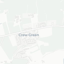
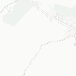
About SY5 9BJ
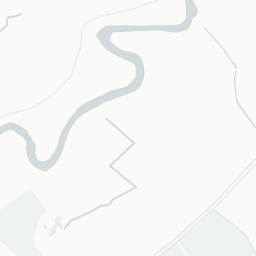
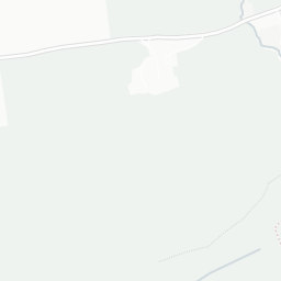
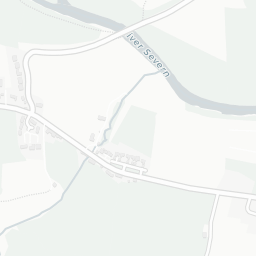
SY5 9BJ scores 58/100 on the NestScope Score, with its strongest showing in schools — with Brynhafren C.P. School about 3 minutes' walk away. The breakdown below draws on official UK data covering schools, safety, healthcare, transport, environment and local amenities.
SY5 9BJ sits outside England, so the national deprivation backbone (IMD) that anchors the NestScope Score isn't available — the figures below are based on local amenities only.
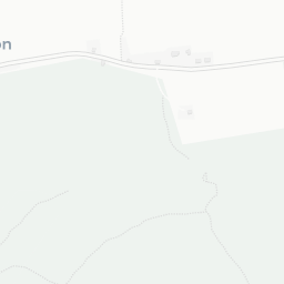
There are 2 schools within the typical catchment area. The nearest school is Brynhafren C.P. School, about 3 minutes' walk away.
There are no GP surgeries, hospitals or pharmacies within easy reach of SY5 9BJ. Residents may need to travel further for healthcare access.
There are no train or Tube stations near SY5 9BJ. Bus services provide the main public transport, with 4 bus stops in the immediate area.
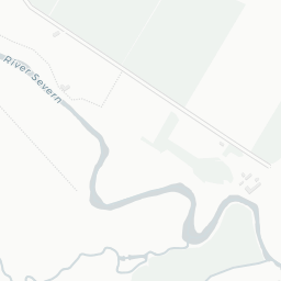
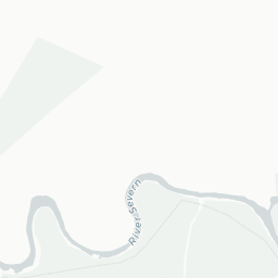
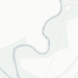
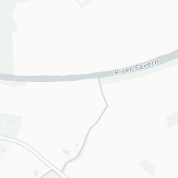
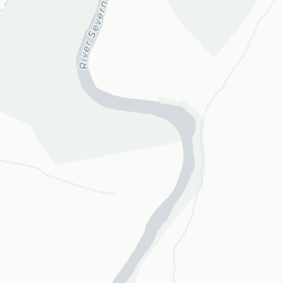
The location is in Flood Zone 1 (low risk — less than a 1 in 1,000 annual chance of river or sea flooding).
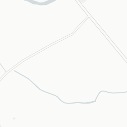
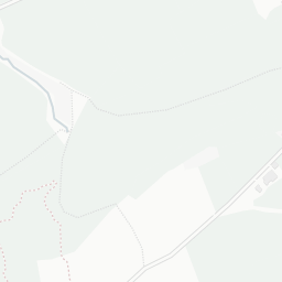
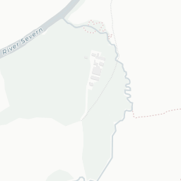
There are no mapped green spaces within walking distance of SY5 9BJ, though formal parks aren't the whole picture in more rural spots. It also lies just beside a open access land (0.9 mi away), adding open countryside that isn't recorded as a formal park.
There are no supermarkets in the immediate area around SY5 9BJ. Grocery shopping may require a car or delivery service.
Sources: DfE/Ofsted, UK Police API, NHS ODS, NaPTAN, Environment Agency, Ordnance Survey, Natural England, DEFRA, Geolytix and Arts Council England. For an interactive map view, explore SY5 9BJ on NestScope.