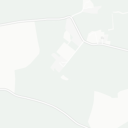
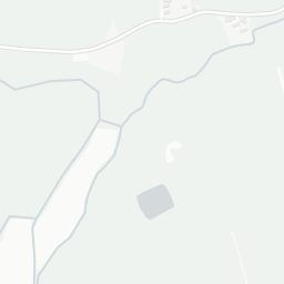
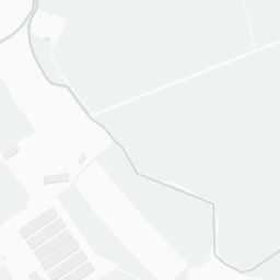
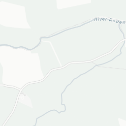
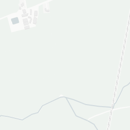
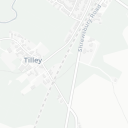


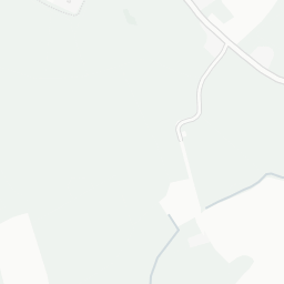
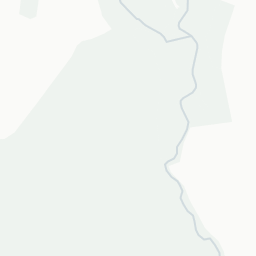
About SY4 5PJ
SY4 5PJ scores 65/100 on the NestScope Score, with its strongest showing in schools and safety — with Woodlands School within a short walk. The main trade-off is its green space score. The breakdown below draws on official UK data covering schools, safety, healthcare, transport, environment and local amenities.
In national context, SY4 5PJ is an above-average neighbourhood — IMD decile 5/10, ranked 14,760 of 32,844 neighbourhoods in England. The Index of Multiple Deprivation is the UK government's official measure of relative deprivation, refreshed roughly every five years. Housing pressure here is high (IMD housing decile 1/10).
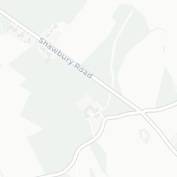
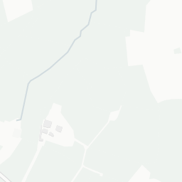
There are 6 schools within the typical catchment area, including 3 rated Good. The nearest school is Woodlands School (Ofsted: Requires Improvement), within a short walk.
No crimes were reported on the surrounding streets in the most recent month, consistent with a very low local crime profile.
Healthcare access is available, with 2 dental practices in the wider neighbourhood.
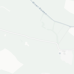
There are no public transport stops near SY4 5PJ, making this a more car-dependent location.
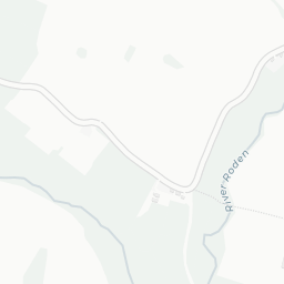
The location is in Flood Zone 1 (low risk — less than a 1 in 1,000 annual chance of river or sea flooding).
There are no mapped green spaces within walking distance of SY4 5PJ, though formal parks aren't the whole picture in more rural spots.
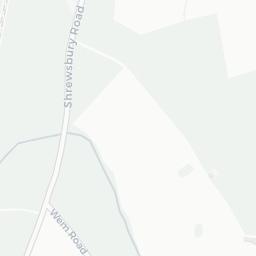
There is 1 supermarket in the wider area, including Midcounties Co-operative. The nearest is Co-op Wem Food, 1.2 mi away. A public library is 1.3 mi away.
Sources: DfE/Ofsted, UK Police API, NHS ODS, NaPTAN, Environment Agency, Ordnance Survey, Natural England, DEFRA, Geolytix and Arts Council England. For an interactive map view, explore SY4 5PJ on NestScope.