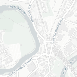
NestScope
SY1 2SP · Neighbourhood Report
© OpenStreetMap · © CARTO
Area Report
Last updated 15 JUN 2026

SY1 2SP

Neighbourhood Report

What's nearby — across walking, short-drive and school catchment distance. Data from official UK government sources.

NestScope Score
61/ 100

An above-average neighbourhood

Anchored on official IMD data — decile 5/10, ranked 16,036 of 32,844 neighbourhoods in England.

How this score is calculated
01 — Snapshot

Around SY1 2SP.

The large figure is how many we found nearby; the chip beside each label is that category’s NestScope score out of 100 — higher beats more of the UK.

Safety62/100
2crimes last month

IMD crime decile 4/10 · 2 crimes in 400m last month (residential-weighted: 2)

Crimes reported last month · UK Police API

Healthcare76/100
16GP & hospitals

IMD health decile 6/10 · 16 GP, 18 dentists, pharmacy 0.6 mi within 1.5 mi

Nearest GP: POWYS RESIDENTS — 0.3 mi

Transport50/100

No rail stations within 0.5 miles

Green space82/100
26green spaces

IMD environment decile 8/10 · 22 ha total — largest park 4 ha (0.13 mi away)

Nearest: Playing Field (1.6 ha) — 0.1 mi

Amenities85/100
20supermarkets

20 supermarkets within 2 mi — Morrisons, Tesco, Spar, Midcounties Co-operative… — nearest 0.4 mi — library 0.8 mi

Nearest: Morrisons Daily Shrewsbury — 0.4 mi

02 — Environment

Environment & risk near SY1 2SP.

Official risk flags for context — deliberately not part of the NestScope score (they’re categorical hazards, not amenities).

Flood risk
Zone 2 (medium)

Flood Zone 2 — medium risk (1 in 100 to 1 in 1,000) · Source: Environment Agency Flood Map for Planning

Zone 1
Zone 2
Zone 3
Air qualityWithin WHO guideline
5.8µg/m³

NO₂ annual mean · WHO guideline 10 · UK limit 40 · Source: DEFRA UK-AIR 2024

<10
10–20
20–30
30–40
≥40
Road noiseQuiet
52dB Lden

Road traffic, day-evening-night average · Source: DEFRA strategic noise mapping

<55
55–64
65–74
≥75
Rail noiseQuiet
43dB Lden

Railways, day-evening-night average · Source: DEFRA strategic noise mapping

<55
55–64
65–74
≥75

About SY1 2SP

SY1 2SP scores 61/100 on the NestScope Score, with its strongest showing in local amenities and green space — with Morrisons Daily Shrewsbury about 7 minutes' walk away. The breakdown below draws on official UK data covering schools, safety, healthcare, transport, environment and local amenities.

In national context, SY1 2SP is an above-average neighbourhood — IMD decile 5/10, ranked 16,036 of 32,844 neighbourhoods in England. The Index of Multiple Deprivation is the UK government's official measure of relative deprivation, refreshed roughly every five years. Housing pressure here is moderate (IMD housing decile 6/10).

There are 27 schools within the typical catchment area, including 1 rated Outstanding by Ofsted and 7 rated Good. The nearest school is The Martin Wilson School (Ofsted: Requires Improvement), within a short walk.

There were 2 crimes reported on the surrounding streets in the most recent month, indicating a very low level of immediate-area crime.

Healthcare access is good, with 16 GP surgeries and 18 dental practices in the wider neighbourhood. The nearest GP practice is POWYS RESIDENTS, about 7 minutes' walk away. A pharmacy is about 11 minutes' walk away.

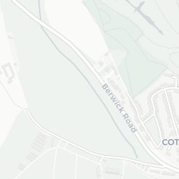
There are no public transport stops near SY1 2SP, making this a more car-dependent location.

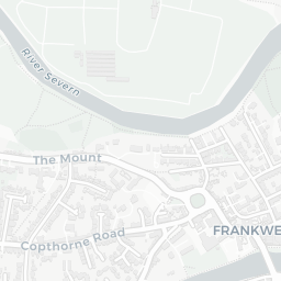
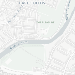
The location sits in Flood Zone 2 (medium risk — between a 1 in 100 and 1 in 1,000 annual chance), which may affect insurance and mortgage availability. road traffic noise is low (about 52 dB Lden), and rail noise is low (about 43 dB Lden).

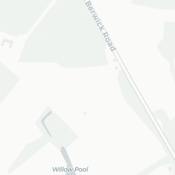
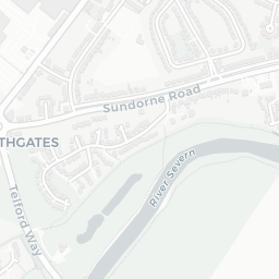
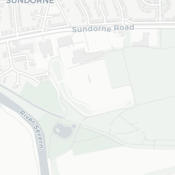
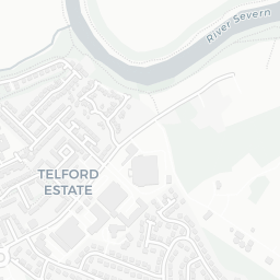
There are 26 green spaces within walking distance, totalling 22 hectares of parks and outdoor space. The nearest is Playing Field (1.6 ha), about 3 minutes' walk away. It also lies just beside a nature reserve (1.0 mi away), adding open countryside that isn't recorded as a formal park.

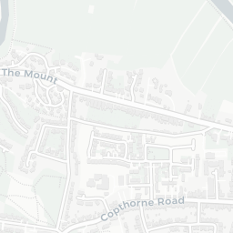
There are 20 supermarkets in the wider area, including Morrisons, Tesco, Spar, Midcounties Co-operative and others. The nearest is Morrisons Daily Shrewsbury, about 7 minutes' walk away. A public library is 0.8 mi away.

Sources: DfE/Ofsted, UK Police API, NHS ODS, NaPTAN, Environment Agency, Ordnance Survey, Natural England, DEFRA, Geolytix and Arts Council England. For an interactive map view, explore SY1 2SP on NestScope.

Explore area insights about nearby locations

Data: DfE/Ofsted · UK Police API · NHS ODS · NaPTAN · Ordnance Survey · Geolytix. Crown Copyright / OGL. Look up any postcode: nestscope.uk/area/YOUR+POSTCODE — e.g. SW1A 1AA, M1 1AE, BS1 1HT.