
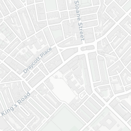
About SW7 2AW
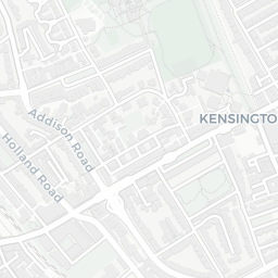
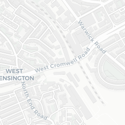
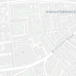
SW7 2AW scores 84/100 on the NestScope Score, with its strongest showing in transport and healthcare — with South Kensington Underground Station about 10 minutes' walk away. The breakdown below draws on official UK data covering schools, safety, healthcare, transport, environment and local amenities.
In national context, SW7 2AW is one of the most affluent neighbourhoods in England — IMD decile 9/10, ranked 28,779 of 32,844 neighbourhoods in England. The Index of Multiple Deprivation is the UK government's official measure of relative deprivation, refreshed roughly every five years. Housing pressure here is moderate (IMD housing decile 5/10).
There are 152 schools within the typical catchment area, including 25 rated Outstanding by Ofsted and 43 rated Good. The nearest school is Imperial College of Science, Technology and Medicine, within a short walk.
There were 29 crimes reported on the surrounding streets in the most recent month, indicating a moderate level of immediate-area crime.
Healthcare access is good, with 47 GP surgeries, 7 hospitals and 52 dental practices in the wider neighbourhood. The nearest GP practice is IMPERIAL COLLEGE HEALTH CENTRE, about 5 minutes' walk away. The nearest hospital is THE ROYAL MARSDEN HOSPITAL, 0.7 mi away. A pharmacy is about 8 minutes' walk away.
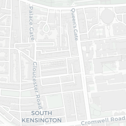
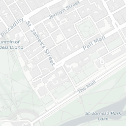
The nearest rail stations are South Kensington Underground Station (Tube/Metro, about 10 minutes' walk away), South Kensington Underground Station (Tube/Metro, about 10 minutes' walk away). There are also 41 bus stops within walking distance.
The location is in Flood Zone 1 (low risk — less than a 1 in 1,000 annual chance of river or sea flooding). road traffic noise is moderate (about 58 dB Lden).
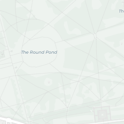
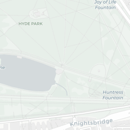
There are 13 green spaces within walking distance, totalling 113.7 hectares of parks and outdoor space. The nearest is Park (1.1 ha), about 3 minutes' walk away.
There are 131 supermarkets in the wider area, including Spar, Waitrose, Sainsburys, Tesco and others. The nearest is Spar - Essentials Store - Imperial College, about 4 minutes' walk away. A public library is 0.8 mi away.
Sources: DfE/Ofsted, UK Police API, NHS ODS, NaPTAN, Environment Agency, Ordnance Survey, Natural England, DEFRA, Geolytix and Arts Council England. For an interactive map view, explore SW7 2AW on NestScope.