
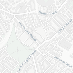

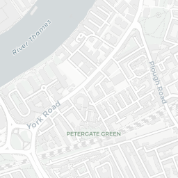
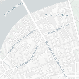
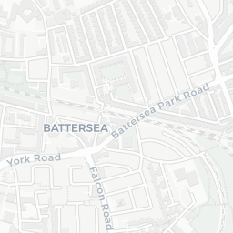
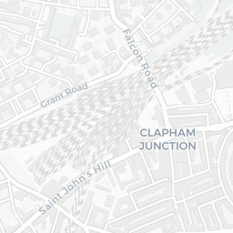
About SW6 2NA
SW6 2NA scores 67/100 on the NestScope Score, with its strongest showing in local amenities and schools — with Sainsburys Fulham Wandsworth Bridge Road Local within a short walk. The main trade-off is its safety score. The breakdown below draws on official UK data covering schools, safety, healthcare, transport, environment and local amenities.
In national context, SW6 2NA is an above-average neighbourhood — IMD decile 6/10, ranked 17,011 of 32,844 neighbourhoods in England. The Index of Multiple Deprivation is the UK government's official measure of relative deprivation, refreshed roughly every five years. Housing pressure here is high (IMD housing decile 4/10).
There are 127 schools within the typical catchment area, including 20 rated Outstanding by Ofsted and 48 rated Good. The nearest school is L'Ecole des Petits School, within a short walk.
There were 46 crimes reported on the surrounding streets in the most recent month, indicating a elevated level of immediate-area crime.
Healthcare access is good, with 58 GP surgeries, 3 hospitals and 55 dental practices in the wider neighbourhood. The nearest GP practice is GP LED GYNAECOLOGY SERVICE, within a short walk. The nearest hospital is CHELSEA & WESTMINSTER HOSPITAL, 1.0 mi away. A pharmacy is about 7 minutes' walk away.
The nearest rail stations are Imperial Wharf Rail Station (Train, about 8 minutes' walk away). There are also 31 bus stops within walking distance.
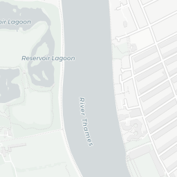
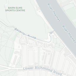
The location sits in Flood Zone 3 (high risk — between a 1 in 100 and 1 in 200 annual chance of river or sea flooding), which may affect insurance and mortgage availability.
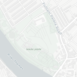
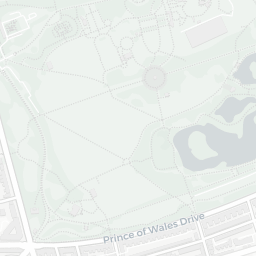
There are 21 green spaces within walking distance, totalling 21.6 hectares of parks and outdoor space. The nearest is Playground (0.10 ha), about 2 minutes' walk away.
There are 107 supermarkets in the wider area, including Sainsburys, Tesco, Waitrose, The Co-operative Group and others. The nearest is Sainsburys Fulham Wandsworth Bridge Road Local, within a short walk. A public library is about 13 minutes' walk away.
Sources: DfE/Ofsted, UK Police API, NHS ODS, NaPTAN, Environment Agency, Ordnance Survey, Natural England, DEFRA, Geolytix and Arts Council England. For an interactive map view, explore SW6 2NA on NestScope.