NestScope
SW4 7LX · Neighbourhood Report
© OpenStreetMap · © CARTO
Area Report
Last updated 17 JUN 2026

SW4 7LX

Neighbourhood Report

What's nearby — across walking, short-drive and school catchment distance. Data from official UK government sources.

NestScope Score
58/ 100

A mixed, mid-ranking neighbourhood

Anchored on official IMD data — decile 3/10, ranked 8,059 of 32,844 neighbourhoods in England.

How this score is calculated
01 — Snapshot

Around SW4 7LX.

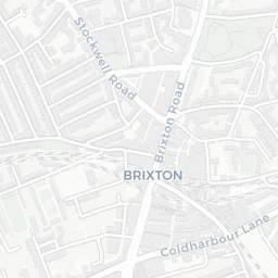
The large figure is how many we found nearby; the chip beside each label is that category’s NestScope score out of 100 — higher beats more of the UK.

Schools80/100
24Good/Outstanding within 1 mi

86 rated Good or better within 2 mi · 133 schools in total

Nearest top-rated: Sudbourne Primary School (Good) — 0.4 mi
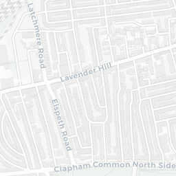
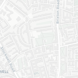
Safety50/100
98crimes last month

IMD crime decile 5/10 · 98 crimes in 400m last month (residential-weighted: 58.8)

Crimes reported last month · UK Police API

Healthcare76/100
42GP & hospitals

IMD health decile 3/10 · 41 GP, 1 hospital, 34 dentists, pharmacy 0.1 mi within 1.5 mi

Nearest GP: HETHERINGTON GROUP PRACTICE — 0.1 mi
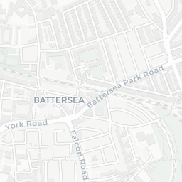
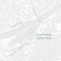
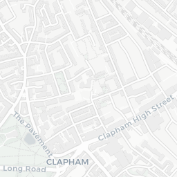
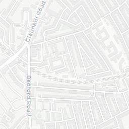
Transport82/100
Clapham High Street Rail Station0.3 mi
Clapham North Underground Station0.2 mi
Clapham North Underground Station0.3 mi
Clapham Common Underground Station0.4 mi

27 bus stops also within 0.5 miles
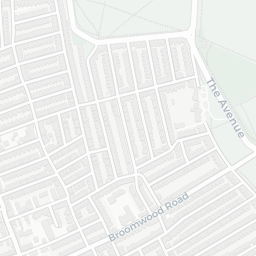
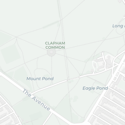
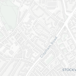
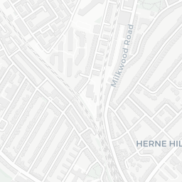
Green space45/100
21green spaces

IMD environment decile 1/10 · 2.3 ha total — no proper park nearby

Nearest: Playground (900 m²) — 0.0 mi
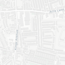
Amenities95/100
100supermarkets

100 supermarkets within 2 mi — Sainsburys, Lidl, Budgens, Marks and Spencer… — nearest 0.2 mi — library 0.3 mi

Nearest: Sainsburys Clapham High Street Local — 0.2 mi

02 — Environment

Environment & risk near SW4 7LX.

Official risk flags for context — deliberately not part of the NestScope score (they’re categorical hazards, not amenities).

Flood risk
Zone 1 (low)

Flood Zone 1 — low risk (less than 1 in 1,000 annual chance) · Source: Environment Agency Flood Map for Planning

Zone 1
Zone 2
Zone 3
Air qualityModerate
20.5µg/m³

NO₂ annual mean · WHO guideline 10 · UK limit 40 · Source: DEFRA UK-AIR 2024

<10
10–20
20–30
30–40
≥40
Road noiseModerate
55dB Lden

Road traffic, day-evening-night average · Source: DEFRA strategic noise mapping

<55
55–64
65–74
≥75
Rail noiseQuiet
41dB Lden

Railways, day-evening-night average · Source: DEFRA strategic noise mapping

<55
55–64
65–74
≥75
03 — House prices

Sold prices in SW4.

Average sold price by property type across the SW4 district, 202120263,054 sales.

£0£2M£4M£6M£8M202120222023202420252026
  • Detached
  • Semi-detached
  • Terraced
  • Flat
Detached£3.0M 10.5%
Semi-detached£1.3M 23.8%
Terraced£1.0M 28.5%
Flat£522k 12.7%

District-level averages (SW4) — broad enough to show a reliable trend. A single postcode usually sees too few sales to chart. Source: HM Land Registry Price Paid Data (Crown Copyright / OGL v3.0).

About SW4 7LX

SW4 7LX scores 58/100 on the NestScope Score, with its strongest showing in local amenities and transport — with Sainsburys Clapham High Street Local about 4 minutes' walk away. The breakdown below draws on official UK data covering schools, safety, healthcare, transport, environment and local amenities.

Explore area insights about nearby locations

Data: DfE/Ofsted · UK Police API · NHS ODS · NaPTAN · Ordnance Survey · Geolytix. Crown Copyright / OGL. Look up any postcode: nestscope.uk/area/YOUR+POSTCODE — e.g. SW1A 1AA, M1 1AE, BS1 1HT.