Nearest top-rated: Iqra Primary School (Outstanding) — 0.3 mi
Safety45/100
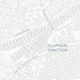
71crimes last month
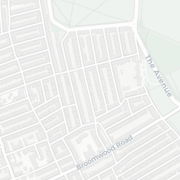
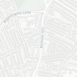
IMD crime decile 4/10 · 71 crimes in 400m last month (residential-weighted: 50.3)
Crimes reported last month · UK Police API
Healthcare75/100
40GP & hospitals
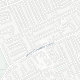
IMD health decile 3/10 · 39 GP, 1 hospital, 32 dentists, pharmacy 0.1 mi within 1.5 mi
Nearest GP: HETHERINGTON GROUP PRACTICE — 0.1 mi
Transport86/100
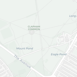
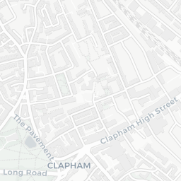
Clapham High Street Rail Station0.4 mi
Clapham Common Underground Station0.4 mi
Clapham North Underground Station0.4 mi
Clapham Common Underground Station0.4 mi
26 bus stops also within 0.5 miles
Green space51/100
25green spaces
IMD environment decile 3/10 · 3.3 ha total — no proper park nearby
Nearest: Playground (100 m²) — 0.1 mi
Amenities95/100
102supermarkets
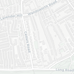
102 supermarkets within 2 mi — Lidl, Budgens, Sainsburys, Marks and Spencer… — nearest 0.2 mi — library 0.3 mi
Nearest: Lidl Brixton London — 0.2 mi
02 — Environment
Environment & risk near SW4 7DX.
Official risk flags for context — deliberately not part of the NestScope score (they’re categorical hazards, not amenities).
Flood risk
Zone 1 (low)
Flood Zone 1 — low risk (less than 1 in 1,000 annual chance) · Source: Environment Agency Flood Map for Planning
▼
Zone 1
Zone 2
Zone 3
Air qualityModerate
20.5µg/m³
NO₂ annual mean · WHO guideline 10 · UK limit 40 · Source: DEFRA UK-AIR 2024
▼
<10
10–20
20–30
30–40
≥40
Road noiseQuiet
53dB Lden
Road traffic, day-evening-night average · Source: DEFRA strategic noise mapping
▼
<55
55–64
65–74
≥75
03 — House prices
Sold prices in SW4.
Average sold price by property type across the SW4 district, 2021–2026 — 3,054 sales.
Detached
Semi-detached
Terraced
Flat
Detached£3.0M▲ 10.5%
Semi-detached£1.3M▼ 23.8%
Terraced£1.0M▼ 28.5%
Flat£522k▼ 12.7%
District-level averages (SW4) — broad enough to show a reliable trend. A single postcode usually sees too few sales to chart. Source: HM Land Registry Price Paid Data (Crown Copyright / OGL v3.0).
About SW4 7DX
SW4 7DX scores 65/100 on the NestScope Score, with its strongest showing in local amenities and schools — with Lidl Brixton London about 5 minutes' walk away. The breakdown below draws on official UK data covering schools, safety, healthcare, transport, environment and local amenities.