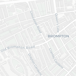
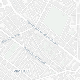
The large figure is how many we found nearby; the chip beside each label is that category’s NestScope score out of 100 — higher beats more of the UK.
Schools59/100
14Good/Outstanding within 1 mi
72 rated Good or better within 2 mi · 138 schools in total
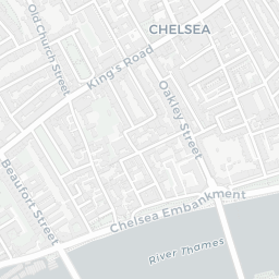
Nearest top-rated: St Gabriel's CofE Primary School (Good) — 0.1 mi
Safety59/100
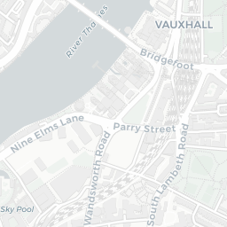
53crimes last month
IMD crime decile 7/10 · 53 crimes in 400m last month (residential-weighted: 34.4)
Crimes reported last month · UK Police API
Healthcare79/100
49GP & hospitals
IMD health decile 4/10 · 43 GP, 6 hospitals, 53 dentists, pharmacy 0.1 mi within 1.5 mi
Nearest GP: BI-BOROUGH ALCOHOL SERVICE — 0.1 mi
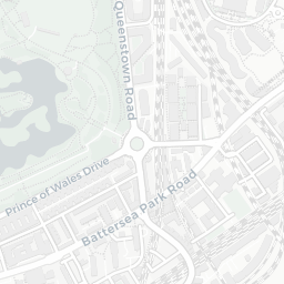
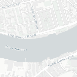
Transport74/100
Pimlico Underground Station0.4 mi
Battersea Power Station Underground Station0.4 mi
30 bus stops also within 0.5 miles
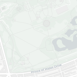
Green space55/100
27green spaces
IMD environment decile 4/10 · 5.3 ha total — no proper park nearby
Nearest: Sports Facility (700 m²) — 0.0 mi
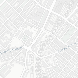
Amenities95/100
133supermarkets
133 supermarkets within 2 mi — Tesco, Marks and Spencer, Sainsburys, Waitrose… — nearest 0.1 mi — library 0.2 mi
Nearest: Tesco Pimlico Express — 0.1 mi