NestScope
SW1V 2NL · Neighbourhood Report
© OpenStreetMap · © CARTO
Area Report
Last updated 16 JUN 2026

SW1V 2NL

Neighbourhood Report

What's nearby — across walking, short-drive and school catchment distance. Data from official UK government sources.

NestScope Score
78/ 100

A well-off neighbourhood

Anchored on official IMD data — decile 8/10, ranked 23,098 of 32,844 neighbourhoods in England.

How this score is calculated
01 — Snapshot

Around SW1V 2NL.

The large figure is how many we found nearby; the chip beside each label is that category’s NestScope score out of 100 — higher beats more of the UK.

Schools92/100
17Good/Outstanding within 1 mi

73 rated Good or better within 2 mi · 142 schools in total

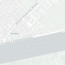
Nearest top-rated: Pimlico Academy (Good) — 0.1 mi

Safety59/100
109crimes last month

IMD crime decile 7/10 · 109 crimes in 400m last month (residential-weighted: 62)

Crimes reported last month · UK Police API

Healthcare93/100
64GP & hospitals

IMD health decile 9/10 · 59 GP, 5 hospitals, 48 dentists, pharmacy 0.1 mi within 1.5 mi

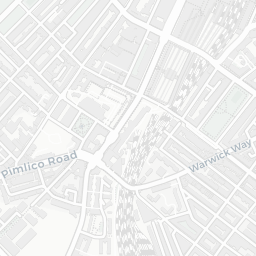
Nearest GP: WESTMINSTER LIVING WELL PCN HUB — 0.1 mi
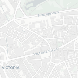
Transport91/100
Pimlico Underground Station0.2 mi

47 bus stops also within 0.5 miles
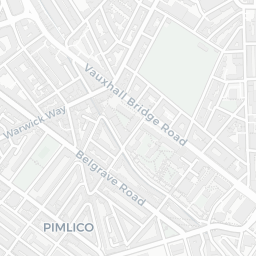
Green space61/100
35green spaces

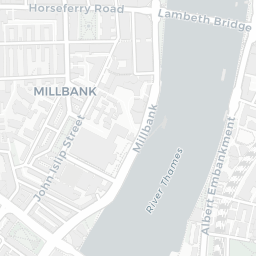
IMD environment decile 2/10 · 10.7 ha total — largest park 3.7 ha (0.28 mi away)

Nearest: Park (0.11 ha) — 0.1 mi

Amenities95/100
137supermarkets

137 supermarkets within 2 mi — Tesco, Waitrose, Sainsburys, Marks and Spencer… — nearest 0.2 mi — library 0.1 mi

Nearest: Tesco Pimlico Express — 0.2 mi

02 — Environment

Environment & risk near SW1V 2NL.

Official risk flags for context — deliberately not part of the NestScope score (they’re categorical hazards, not amenities).

Flood risk
Zone 3 (high)

Flood Zone 3 — high risk (1 in 100 annual chance) · Source: Environment Agency Flood Map for Planning

Zone 1
Zone 2
Zone 3
Air qualityModerate
26µg/m³

NO₂ annual mean · WHO guideline 10 · UK limit 40 · Source: DEFRA UK-AIR 2024

<10
10–20
20–30
30–40
≥40
Road noiseQuiet
48dB Lden

Road traffic, day-evening-night average · Source: DEFRA strategic noise mapping

<55
55–64
65–74
≥75
Rail noiseQuiet
41dB Lden

Railways, day-evening-night average · Source: DEFRA strategic noise mapping

<55
55–64
65–74
≥75
03 — House prices

Sold prices in SW1V.

Average sold price by property type across the SW1V district, 202120261,233 sales.

£0£1M£2M£3M£4M202120222023202420252026
  • Detached
  • Terraced
  • Flat
Detached
Terraced£1.3M 44.8%
Flat£626k 23.7%

District-level averages (SW1V) — broad enough to show a reliable trend. A single postcode usually sees too few sales to chart. Source: HM Land Registry Price Paid Data (Crown Copyright / OGL v3.0).

About SW1V 2NL

SW1V 2NL scores 78/100 on the NestScope Score, with its strongest showing in local amenities and healthcare — with Tesco Pimlico Express about 4 minutes' walk away. The breakdown below draws on official UK data covering schools, safety, healthcare, transport, environment and local amenities.

Explore area insights about nearby locations

Data: DfE/Ofsted · UK Police API · NHS ODS · NaPTAN · Ordnance Survey · Geolytix. Crown Copyright / OGL. Look up any postcode: nestscope.uk/area/YOUR+POSTCODE — e.g. SW1A 1AA, M1 1AE, BS1 1HT.