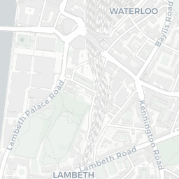
Nearest top-rated: St Matthew's School, Westminster (Good) — 0.1 mi
Safety74/100
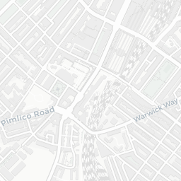
170crimes last month
IMD crime decile 10/10 · 170 crimes in 400m last month (residential-weighted: 79.9)
Crimes reported last month · UK Police API
Healthcare96/100
68GP & hospitals
IMD health decile 10/10 · 63 GP, 5 hospitals, 72 dentists, pharmacy 0.1 mi within 1.5 mi
Nearest GP: THE DR HICKEY SURGERY FOR THE HOMELESS — 0.2 mi
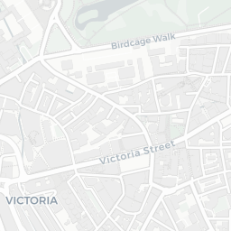
Transport96/100
London Victoria Rail Station0.5 mi
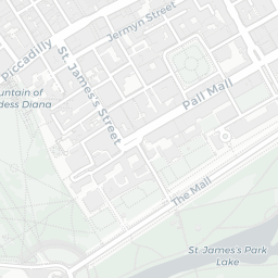
St. James's Park Underground Station0.1 mi
St. James's Park Underground Station0.1 mi
St. James's Park Underground Station0.1 mi
54 bus stops also within 0.5 miles
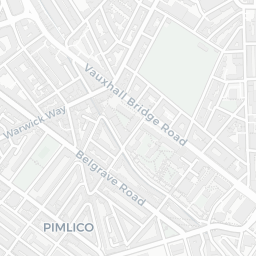
Green space66/100
27green spaces
IMD environment decile 1/10 · 35.5 ha total — largest park 22.9 ha (0.30 mi away)
Nearest: Park (0.20 ha) — 0.1 mi
Amenities92/100
155supermarkets
155 supermarkets within 2 mi — Tesco, Sainsburys, Waitrose, Marks and Spencer… — nearest 0.0 mi — library 0.7 mi
Nearest: Tesco Strutton Ground Express — 0.0 mi
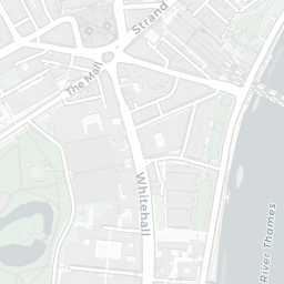
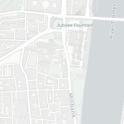
02 — Environment
Environment & risk near SW1P 2FF.
Official risk flags for context — deliberately not part of the NestScope score (they’re categorical hazards, not amenities).
Flood risk
Zone 3 (high)
Flood Zone 3 — high risk (1 in 100 annual chance) · Source: Environment Agency Flood Map for Planning
▼
Zone 1
Zone 2
Zone 3
Air qualityHigh (approaching UK limit)
32.3µg/m³
NO₂ annual mean · WHO guideline 10 · UK limit 40 · Source: DEFRA UK-AIR 2024
▼
<10
10–20
20–30
30–40
≥40
Road noiseLoud
67dB Lden
Road traffic, day-evening-night average · Source: DEFRA strategic noise mapping
▼
<55
55–64
65–74
≥75
03 — House prices
Sold prices in SW1P.
Average sold price by property type across the SW1P district, 2021–2026 — 1,093 sales.
Terraced
Flat
Terraced£3.3M▲ 4.8%
Flat£742k▼ 21.0%
District-level averages (SW1P) — broad enough to show a reliable trend. A single postcode usually sees too few sales to chart. Source: HM Land Registry Price Paid Data (Crown Copyright / OGL v3.0).
About SW1P 2FF
SW1P 2FF scores 82/100 on the NestScope Score, with its strongest showing in healthcare and transport — with THE DR HICKEY SURGERY FOR THE HOMELESS about 4 minutes' walk away. The breakdown below draws on official UK data covering schools, safety, healthcare, transport, environment and local amenities.