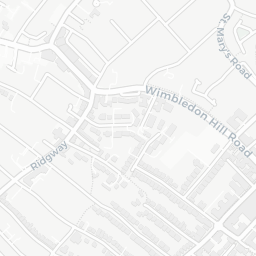
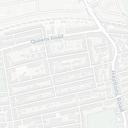
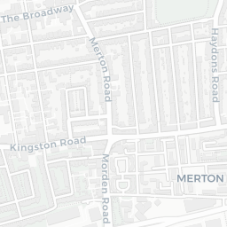
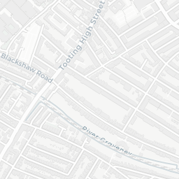
NestScope
SW19 8QT · Neighbourhood Report
© OpenStreetMap · © CARTO
Area Report
Last updated 16 JUN 2026

SW19 8QT

Neighbourhood Report

What's nearby — across walking, short-drive and school catchment distance. Data from official UK government sources.

NestScope Score
76/ 100

A well-off neighbourhood

Anchored on official IMD data — decile 7/10, ranked 21,283 of 32,844 neighbourhoods in England.

How this score is calculated
01 — Snapshot

Around SW19 8QT.

The large figure is how many we found nearby; the chip beside each label is that category’s NestScope score out of 100 — higher beats more of the UK.

Schools92/100
13Good/Outstanding within 1 mi

54 rated Good or better within 2 mi · 90 schools in total

Nearest top-rated: Holy Trinity CofE Primary School (Outstanding) — 0.2 mi

Safety61/100
18crimes last month

IMD crime decile 5/10 · 18 crimes in 400m last month (residential-weighted: 8.4)

Crimes reported last month · UK Police API

Healthcare89/100
56GP & hospitals

IMD health decile 8/10 · 54 GP, 2 hospitals, 35 dentists, pharmacy 0.4 mi within 1.5 mi

Nearest GP: NORTH WEST MERTON PCN HUB — 0.2 mi

Transport84/100
Wimbledon Rail Station0.4 mi
Haydons Road Rail Station0.5 mi
South Wimbledon Underground Station0.4 mi
Wimbledon Tram Stop0.4 mi

39 bus stops also within 0.5 miles

Green space62/100
15green spaces

IMD environment decile 3/10 · 7.8 ha total — largest park 3.5 ha (0.32 mi away)

Nearest: Holy Trinity Church — 0.0 mi

Amenities92/100
69supermarkets

69 supermarkets within 2 mi — Sainsburys, Tesco, Morrisons, Marks and Spencer… — nearest 0.2 mi — library 0.5 mi

Nearest: Sainsburys London Wimbledon Broadway Local — 0.2 mi

02 — Environment

Environment & risk near SW19 8QT.

Official risk flags for context — deliberately not part of the NestScope score (they’re categorical hazards, not amenities).

Flood risk
Zone 1 (low)

Flood Zone 1 — low risk (less than 1 in 1,000 annual chance) · Source: Environment Agency Flood Map for Planning

Zone 1
Zone 2
Zone 3
Air qualityLow
16.8µg/m³

NO₂ annual mean · WHO guideline 10 · UK limit 40 · Source: DEFRA UK-AIR 2024

<10
10–20
20–30
30–40
≥40
Road noiseModerate
60dB Lden

Road traffic, day-evening-night average · Source: DEFRA strategic noise mapping

<55
55–64
65–74
≥75
03 — House prices

Sold prices in SW19.

Average sold price by property type across the SW19 district, 202120266,557 sales.

£0£2M£4M£6M202120222023202420252026
  • Detached
  • Semi-detached
  • Terraced
  • Flat
Detached£2.5M 28.2%
Semi-detached£1.2M 16.2%
Terraced£895k 0.3%
Flat£437k 8.9%

District-level averages (SW19) — broad enough to show a reliable trend. A single postcode usually sees too few sales to chart. Source: HM Land Registry Price Paid Data (Crown Copyright / OGL v3.0).

About SW19 8QT

SW19 8QT scores 76/100 on the NestScope Score, with its strongest showing in schools and local amenities — with Holy Trinity CofE Primary School about 4 minutes' walk away. The breakdown below draws on official UK data covering schools, safety, healthcare, transport, environment and local amenities.

Explore area insights about nearby locations

Data: DfE/Ofsted · UK Police API · NHS ODS · NaPTAN · Ordnance Survey · Geolytix. Crown Copyright / OGL. Look up any postcode: nestscope.uk/area/YOUR+POSTCODE — e.g. SW1A 1AA, M1 1AE, BS1 1HT.