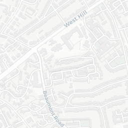
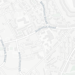
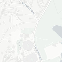
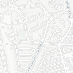
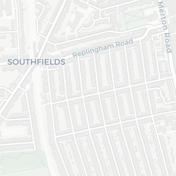
About SW19 6HL
SW19 6HL scores 73/100 on the NestScope Score, with its strongest showing in healthcare and local amenities — with HOSPITAL AT HOME SWL - CLCH about 5 minutes' walk away. The breakdown below draws on official UK data covering schools, safety, healthcare, transport, environment and local amenities.
In national context, SW19 6HL is a well-off neighbourhood — IMD decile 7/10, ranked 20,830 of 32,844 neighbourhoods in England. The Index of Multiple Deprivation is the UK government's official measure of relative deprivation, refreshed roughly every five years. Housing pressure here is high (IMD housing decile 4/10).
There are 75 schools within the typical catchment area, including 12 rated Outstanding by Ofsted and 32 rated Good. The nearest school is Victoria Drive Primary Pupil Referral Unit (Ofsted: Outstanding), within a short walk.
There were 38 crimes reported on the surrounding streets in the most recent month, indicating a elevated level of immediate-area crime.
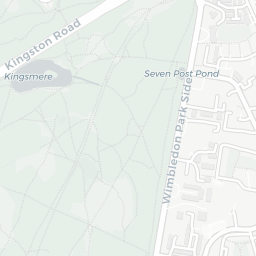
Healthcare access is good, with 23 GP surgeries, 2 hospitals and 27 dental practices in the wider neighbourhood. The nearest GP practice is HOSPITAL AT HOME SWL - CLCH, about 5 minutes' walk away. The nearest hospital is PARKSIDE HOSPITAL, about 11 minutes' walk away. A pharmacy is about 4 minutes' walk away.
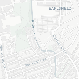
The nearest rail stations are Southfields Underground Station (Tube/Metro, about 10 minutes' walk away). There are also 30 bus stops within walking distance.
The location is in Flood Zone 1 (low risk — less than a 1 in 1,000 annual chance of river or sea flooding).
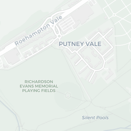
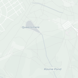
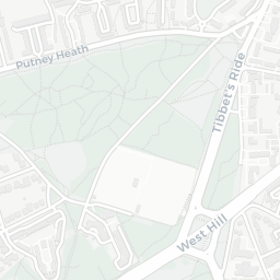
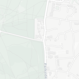
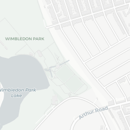
There are 16 green spaces within walking distance, totalling 1.7 hectares of parks and outdoor space. The nearest is St Paul's Church, within a short walk.
There are 56 supermarkets in the wider area, including The Co-operative Group, Tesco, Sainsburys, Marks and Spencer and others. The nearest is Co-op Wimbledon - Inner Park Road, about 5 minutes' walk away. A public library is about 9 minutes' walk away.
Sources: DfE/Ofsted, UK Police API, NHS ODS, NaPTAN, Environment Agency, Ordnance Survey, Natural England, DEFRA, Geolytix and Arts Council England. For an interactive map view, explore SW19 6HL on NestScope.