NestScope
SW15 3BF · Neighbourhood Report
© OpenStreetMap · © CARTO
Area Report
Last updated 16 JUN 2026

SW15 3BF

Neighbourhood Report

What's nearby — across walking, short-drive and school catchment distance. Data from official UK government sources.

NestScope Score
63/ 100

A mixed, mid-ranking neighbourhood

Anchored on official IMD data — decile 4/10, ranked 12,940 of 32,844 neighbourhoods in England.

How this score is calculated
01 — Snapshot

Around SW15 3BF.

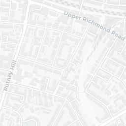
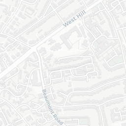
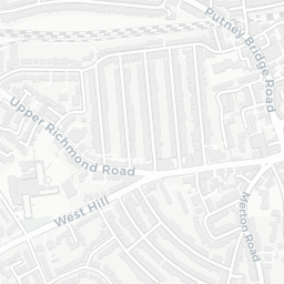
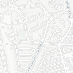
The large figure is how many we found nearby; the chip beside each label is that category’s NestScope score out of 100 — higher beats more of the UK.

Schools81/100
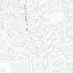
19Good/Outstanding within 1 mi

45 rated Good or better within 2 mi · 77 schools in total

Nearest top-rated: Ark Putney Academy (Good) — 0.1 mi

Safety70/100
17crimes last month

IMD crime decile 7/10 · 17 crimes in 400m last month (residential-weighted: 9.8)

Crimes reported last month · UK Police API

Healthcare79/100
23GP & hospitals

IMD health decile 5/10 · 21 GP, 2 hospitals, 20 dentists, pharmacy 0.5 mi within 1.5 mi

Nearest GP: CHARTFIELD SURGERY — 0.2 mi

Transport67/100

No rail stations within 0.5 miles · 32 bus stops nearby
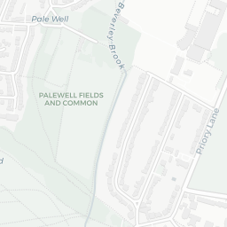
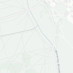
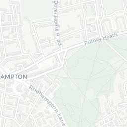
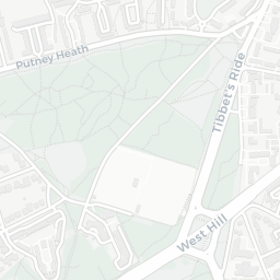
Green space65/100
14green spaces

IMD environment decile 6/10 · 5.2 ha total — largest park 1.6 ha (0.35 mi away)

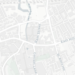
Nearest: Manor Fields — 0.1 mi

Amenities76/100
63supermarkets

63 supermarkets within 2 mi — Sainsburys, Budgens, Tesco, Waitrose… — nearest 0.5 mi — library 0.6 mi

Nearest: Sainsburys Upper Richmond Road Local — 0.5 mi

02 — Environment

Environment & risk near SW15 3BF.

Official risk flags for context — deliberately not part of the NestScope score (they’re categorical hazards, not amenities).

Flood risk
Zone 1 (low)

Flood Zone 1 — low risk (less than 1 in 1,000 annual chance) · Source: Environment Agency Flood Map for Planning

Zone 1
Zone 2
Zone 3
Air qualityLow
16.9µg/m³

NO₂ annual mean · WHO guideline 10 · UK limit 40 · Source: DEFRA UK-AIR 2024

<10
10–20
20–30
30–40
≥40
Road noiseQuiet
48dB Lden

Road traffic, day-evening-night average · Source: DEFRA strategic noise mapping

<55
55–64
65–74
≥75

About SW15 3BF

SW15 3BF scores 63/100 on the NestScope Score, with its strongest showing in schools and healthcare — with Ark Putney Academy within a short walk. The breakdown below draws on official UK data covering schools, safety, healthcare, transport, environment and local amenities.

Explore area insights about nearby locations

Data: DfE/Ofsted · UK Police API · NHS ODS · NaPTAN · Ordnance Survey · Geolytix. Crown Copyright / OGL. Look up any postcode: nestscope.uk/area/YOUR+POSTCODE — e.g. SW1A 1AA, M1 1AE, BS1 1HT.