NestScope
SW13 9JF · Neighbourhood Report
© OpenStreetMap · © CARTO
Area Report
Last updated 17 JUN 2026

SW13 9JF

Neighbourhood Report

What's nearby — across walking, short-drive and school catchment distance. Data from official UK government sources.

NestScope Score
89/ 100

One of the most affluent neighbourhoods in England

Anchored on official IMD data — decile 10/10, ranked 31,478 of 32,844 neighbourhoods in England.

How this score is calculated
01 — Snapshot

Around SW13 9JF.

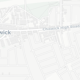
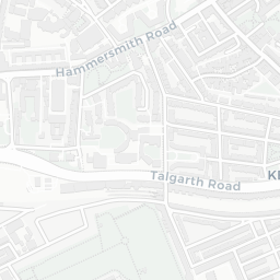
The large figure is how many we found nearby; the chip beside each label is that category’s NestScope score out of 100 — higher beats more of the UK.

Schools93/100
15Good/Outstanding within 1 mi

73 rated Good or better within 2 mi · 122 schools in total

Nearest top-rated: Lowther Primary School (Good) — 0.3 mi
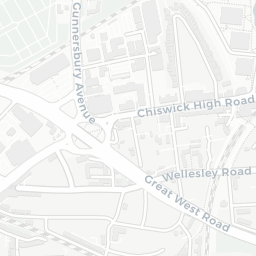
Safety75/100
16crimes last month

IMD crime decile 8/10 · 16 crimes in 400m last month (residential-weighted: 11.4)

Crimes reported last month · UK Police API

Healthcare93/100
31GP & hospitals

IMD health decile 10/10 · 30 GP, 1 hospital, 43 dentists, pharmacy 0.6 mi within 1.5 mi

Nearest GP: PES@SPECSAVERS HAMMERSMITH, NWL — 0.5 mi
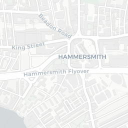
Transport95/100
Ravenscourt Park Underground Station0.5 mi

22 bus stops also within 0.5 miles
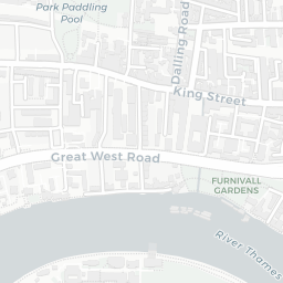
Green space62/100
20green spaces

IMD environment decile 4/10 · 7.1 ha total — largest park 2.2 ha (0.38 mi away)

Nearest: Holy Trinity Church — 0.2 mi

Amenities90/100
101supermarkets

101 supermarkets within 2 mi — Tesco, Marks and Spencer, Iceland, Sainsburys… — nearest 0.2 mi — library 0.5 mi

Nearest: Tesco Barnes Esso Express — 0.2 mi

02 — Environment

Environment & risk near SW13 9JF.

Official risk flags for context — deliberately not part of the NestScope score (they’re categorical hazards, not amenities).

Flood risk
Zone 3 (high)

Flood Zone 3 — high risk (1 in 100 annual chance) · Source: Environment Agency Flood Map for Planning

Zone 1
Zone 2
Zone 3
Air qualityLow
17.9µg/m³

NO₂ annual mean · WHO guideline 10 · UK limit 40 · Source: DEFRA UK-AIR 2024

<10
10–20
20–30
30–40
≥40
Road noiseQuiet
54dB Lden

Road traffic, day-evening-night average · Source: DEFRA strategic noise mapping

<55
55–64
65–74
≥75
03 — House prices

Sold prices in SW13.

Average sold price by property type across the SW13 district, 202120261,292 sales.

£0£2M£4M£6M202120222023202420252026
  • Detached
  • Semi-detached
  • Terraced
  • Flat
Detached£5.2M 75.3%
Semi-detached£1.9M 27.5%
Terraced£1.0M 30.9%
Flat£506k 28.9%

District-level averages (SW13) — broad enough to show a reliable trend. A single postcode usually sees too few sales to chart. Source: HM Land Registry Price Paid Data (Crown Copyright / OGL v3.0).

About SW13 9JF

SW13 9JF scores 89/100 on the NestScope Score, with its strongest showing in transport and schools — with Ravenscourt Park Underground Station about 10 minutes' walk away. The breakdown below draws on official UK data covering schools, safety, healthcare, transport, environment and local amenities.

Explore area insights about nearby locations

Data: DfE/Ofsted · UK Police API · NHS ODS · NaPTAN · Ordnance Survey · Geolytix. Crown Copyright / OGL. Look up any postcode: nestscope.uk/area/YOUR+POSTCODE — e.g. SW1A 1AA, M1 1AE, BS1 1HT.