The large figure is how many we found nearby; the chip beside each label is that category’s NestScope score out of 100 — higher beats more of the UK.
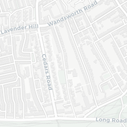
Schools92/100
18Good/Outstanding within 1 mi
72 rated Good or better within 2 mi · 119 schools in total
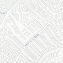
Nearest top-rated: Belleville Primary School (Outstanding) — 0.3 mi
Safety64/100
30crimes last month
IMD crime decile 8/10 · 30 crimes in 400m last month (residential-weighted: 25.9)
Crimes reported last month · UK Police API
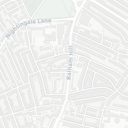
Healthcare93/100
35GP & hospitals
IMD health decile 10/10 · 34 GP, 1 hospital, 38 dentists, pharmacy 0.4 mi within 1.5 mi
Nearest GP: TRINITY HOSPICE — 0.5 mi
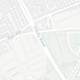
Transport95/100
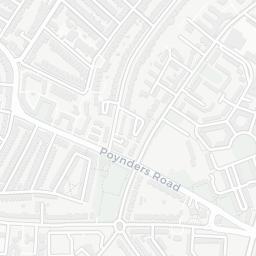
Clapham South Underground Station0.5 mi
Clapham South Underground Station0.5 mi
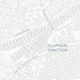
26 bus stops also within 0.5 miles
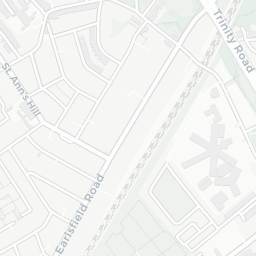
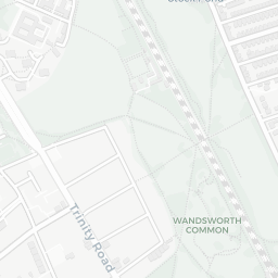
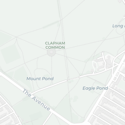
Green space67/100
4green spaces
IMD environment decile 3/10 · 76.5 ha total — no proper park nearby
Nearest: Playground (0.21 ha) — 0.3 mi
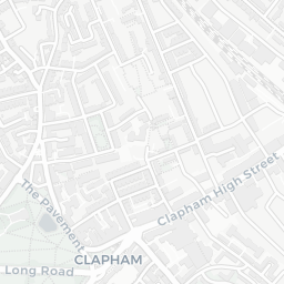
Amenities92/100
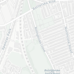
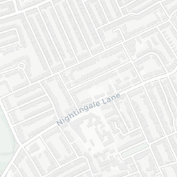
99supermarkets
99 supermarkets within 2 mi — Sainsburys, Tesco, Marks and Spencer, The Co-operative Group… — nearest 0.4 mi — library 0.5 mi
Nearest: Sainsburys Balham Nightingale Lane Local — 0.4 mi