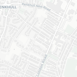
NestScope
ST4 2RU · Neighbourhood Report
© OpenStreetMap · © CARTO
Area Report
Last updated 13 JUN 2026

ST4 2RU

Neighbourhood Report

What's nearby — across walking, short-drive and school catchment distance. Data from official UK government sources.

NestScope Score
61/ 100

A mixed, mid-ranking neighbourhood

Anchored on official IMD data — decile 4/10, ranked 12,852 of 32,844 neighbourhoods in England.

How this score is calculated
01 — Snapshot

Around ST4 2RU.

The large figure is how many we found nearby; the chip beside each label is that category’s NestScope score out of 100 — higher beats more of the UK.

Schools47/100
4Good/Outstanding within 1 mi

23 rated Good or better within 2 mi · 46 schools in total

Nearest top-rated: Christ Church CofE Primary Academy (Good) — 0.7 mi

Safety64/100

IMD crime decile 6/10 · live count unavailable

Data temporarily unavailable

Healthcare72/100
29GP & hospitals

IMD health decile 2/10 · 26 GP, 3 hospitals, 13 dentists, pharmacy 0.3 mi within 1.5 mi

Nearest GP: NORFOLK STREET SURGERY — 0.3 mi

Transport89/100
Stoke-on-Trent Rail Station0.1 mi

29 bus stops also within 0.5 miles

Green space62/100
6green spaces

IMD environment decile 3/10 · 16 ha total — no proper park nearby

Nearest: St Peter's Church — 0.3 mi

Amenities95/100
33supermarkets

33 supermarkets within 2 mi — The Co-operative Group, Spar, Asda, Sainsburys… — nearest 0.2 mi — library 0.4 mi

Nearest: Co-op University of Staffordshire — 0.2 mi

02 — Environment

Environment & risk near ST4 2RU.

Official risk flags for context — deliberately not part of the NestScope score (they’re categorical hazards, not amenities).

Flood risk
Zone 1 (low)

Flood Zone 1 — low risk (less than 1 in 1,000 annual chance) · Source: Environment Agency Flood Map for Planning

Zone 1
Zone 2
Zone 3
Air qualityLow
15µg/m³

NO₂ annual mean · WHO guideline 10 · UK limit 40 · Source: DEFRA UK-AIR 2024

<10
10–20
20–30
30–40
≥40
03 — House prices

Sold prices in ST4.

Average sold price by property type across the ST4 district, 202120265,805 sales.

£0£100k£200k£300k£400k202120222023202420252026
  • Detached
  • Semi-detached
  • Terraced
  • Flat
Detached£331k 5.0%
Semi-detached£194k 10.2%
Terraced£108k 5.4%
Flat£89k 10.2%

District-level averages (ST4) — broad enough to show a reliable trend. A single postcode usually sees too few sales to chart. Source: HM Land Registry Price Paid Data (Crown Copyright / OGL v3.0).

About ST4 2RU

ST4 2RU scores 61/100 on the NestScope Score, with its strongest showing in local amenities and transport — with Co-op University of Staffordshire about 4 minutes' walk away. The breakdown below draws on official UK data covering schools, safety, healthcare, transport, environment and local amenities.

In national context, ST4 2RU is a mixed, mid-ranking neighbourhood — IMD decile 4/10, ranked 12,852 of 32,844 neighbourhoods in England. The Index of Multiple Deprivation is the UK government's official measure of relative deprivation, refreshed roughly every five years. Housing pressure here is moderate (IMD housing decile 6/10).

There are 46 schools within the typical catchment area, including 1 rated Outstanding by Ofsted and 22 rated Good. The nearest school is City of Stoke-On-Trent Sixth Form College, within a short walk.

Healthcare access is good, with 26 GP surgeries, 3 hospitals and 13 dental practices in the wider neighbourhood. The nearest GP practice is NORFOLK STREET SURGERY, about 6 minutes' walk away. The nearest hospital is ROYAL INFIRMARY ADMIN BUILDINGS, 0.9 mi away. A pharmacy is about 6 minutes' walk away.

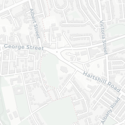
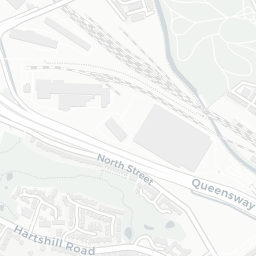
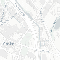
The nearest rail stations are Stoke-on-Trent Rail Station (Train, about 3 minutes' walk away). There are also 29 bus stops within walking distance.

The location is in Flood Zone 1 (low risk — less than a 1 in 1,000 annual chance of river or sea flooding).

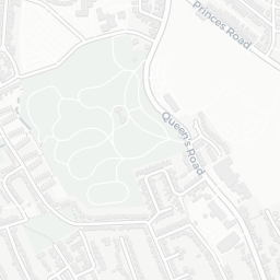
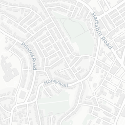
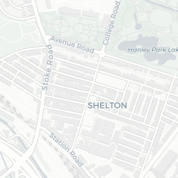
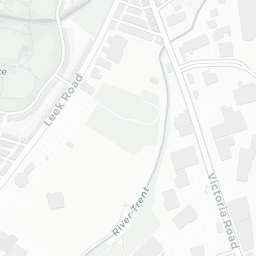
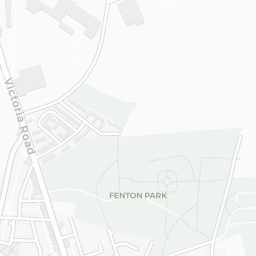
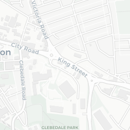
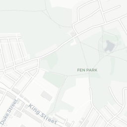
There are 6 green spaces within walking distance, totalling 16 hectares of parks and outdoor space. The nearest is St Peter's Church, about 5 minutes' walk away. It also lies just beside a nature reserve (about 10 minutes' walk away), adding open countryside that isn't recorded as a formal park.

There are 33 supermarkets in the wider area, including The Co-operative Group, Spar, Asda, Sainsburys and others. The nearest is Co-op University of Staffordshire, about 4 minutes' walk away. A public library is about 7 minutes' walk away.

Sources: DfE/Ofsted, UK Police API, NHS ODS, NaPTAN, Environment Agency, Ordnance Survey, Natural England, DEFRA, Geolytix and Arts Council England. For an interactive map view, explore ST4 2RU on NestScope.

Explore area insights about nearby locations

Data: DfE/Ofsted · UK Police API · NHS ODS · NaPTAN · Ordnance Survey · Geolytix. Crown Copyright / OGL. Look up any postcode: nestscope.uk/area/YOUR+POSTCODE — e.g. SW1A 1AA, M1 1AE, BS1 1HT.

NestScope

All data from publicly available UK government sources. Each dimension uses a category-appropriate radius (walking distance for crime and transport, school catchment, drive distance for healthcare). IMD context is the latest published English Indices of Deprivation (2019). This report is for informational purposes only.