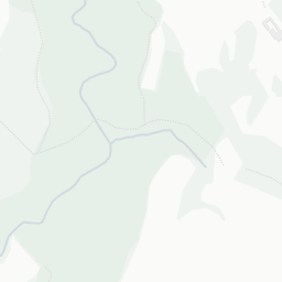
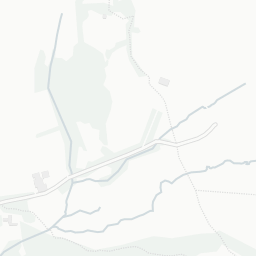
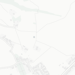
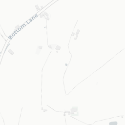
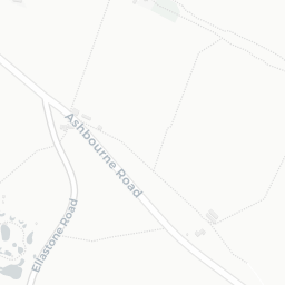
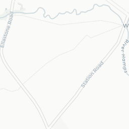
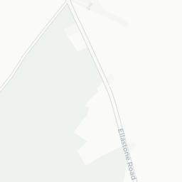
About ST10 2LR
ST10 2LR scores 69/100 on the NestScope Score, with its strongest showing in safety and schools — with no crimes reported on the surrounding streets last month. The breakdown below draws on official UK data covering schools, safety, healthcare, transport, environment and local amenities.
In national context, ST10 2LR is an above-average neighbourhood — IMD decile 6/10, ranked 18,394 of 32,844 neighbourhoods in England. The Index of Multiple Deprivation is the UK government's official measure of relative deprivation, refreshed roughly every five years. Housing pressure here is high (IMD housing decile 2/10).
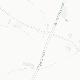
There are 3 schools within the typical catchment area, including 1 rated Good. The nearest school is Parkgate Farm, about 9 minutes' walk away.
No crimes were reported on the surrounding streets in the most recent month, consistent with a very low local crime profile.
There are no GP surgeries, hospitals or pharmacies within easy reach of ST10 2LR. Residents may need to travel further for healthcare access.
There are no train or Tube stations near ST10 2LR. Bus services provide the main public transport, with 1 bus stop in the immediate area.
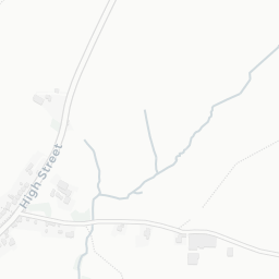
The location is in Flood Zone 1 (low risk — less than a 1 in 1,000 annual chance of river or sea flooding).
There are no mapped green spaces within walking distance of ST10 2LR, though formal parks aren't the whole picture in more rural spots. It also lies just beside a open access land (about 4 minutes' walk away), adding open countryside that isn't recorded as a formal park.
There are no supermarkets in the immediate area around ST10 2LR. Grocery shopping may require a car or delivery service.
Sources: DfE/Ofsted, UK Police API, NHS ODS, NaPTAN, Environment Agency, Ordnance Survey, Natural England, DEFRA, Geolytix and Arts Council England. For an interactive map view, explore ST10 2LR on NestScope.