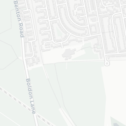
NestScope
SR6 7RP · Neighbourhood Report
© OpenStreetMap · © CARTO
Area Report
Last updated 13 JUN 2026

SR6 7RP

Neighbourhood Report

What's nearby — across walking, short-drive and school catchment distance. Data from official UK government sources.

NestScope Score
86/ 100

One of the most affluent neighbourhoods in England

Anchored on official IMD data — decile 10/10, ranked 31,929 of 32,844 neighbourhoods in England.

How this score is calculated
01 — Snapshot

Around SR6 7RP.

The large figure is how many we found nearby; the chip beside each label is that category’s NestScope score out of 100 — higher beats more of the UK.

Safety80/100

IMD crime decile 8/10 · live count unavailable

Data temporarily unavailable

Healthcare85/100
7GP & hospitals

IMD health decile 7/10 · 6 GP, 1 hospital, 4 dentists, pharmacy 0.2 mi within 1.5 mi

Nearest GP: S E GILL CHEMIST LIMITED — 0.2 mi

Transport77/100

No rail stations within 0.5 miles · 23 bus stops nearby

Green space75/100
5green spaces

IMD environment decile 10/10 · 4.3 ha total — largest park 2.2 ha (0.32 mi away)

Nearest: Allotments (600 m²) — 0.3 mi

Amenities66/100
13supermarkets

13 supermarkets within 2 mi — Spar, Sainsburys, Tesco, Iceland… — nearest 0.7 mi — library 1.4 mi

Nearest: Spar Ridgeway Service Station — 0.7 mi

02 — Environment

Environment & risk near SR6 7RP.

Official risk flags for context — deliberately not part of the NestScope score (they’re categorical hazards, not amenities).

Flood risk
Zone 1 (low)

Flood Zone 1 — low risk (less than 1 in 1,000 annual chance) · Source: Environment Agency Flood Map for Planning

Zone 1
Zone 2
Zone 3
Air qualityWithin WHO guideline
8.5µg/m³

NO₂ annual mean · WHO guideline 10 · UK limit 40 · Source: DEFRA UK-AIR 2024

<10
10–20
20–30
30–40
≥40
03 — House prices

Sold prices in SR6.

Average sold price by property type across the SR6 district, 202120262,713 sales.

£0£200k£400k£600k202120222023202420252026
  • Detached
  • Semi-detached
  • Terraced
  • Flat
Detached£501k 17.5%
Semi-detached£277k 13.1%
Terraced£182k 1.0%
Flat£101k 17.1%

District-level averages (SR6) — broad enough to show a reliable trend. A single postcode usually sees too few sales to chart. Source: HM Land Registry Price Paid Data (Crown Copyright / OGL v3.0).

About SR6 7RP

SR6 7RP scores 86/100 on the NestScope Score, with its strongest showing in schools and healthcare — with Cleadon Church of England Academy within a short walk. The breakdown below draws on official UK data covering schools, safety, healthcare, transport, environment and local amenities.

In national context, SR6 7RP is one of the most affluent neighbourhoods in England — IMD decile 10/10, ranked 31,929 of 32,844 neighbourhoods in England. The Index of Multiple Deprivation is the UK government's official measure of relative deprivation, refreshed roughly every five years. Housing pressure here is low (IMD housing decile 10/10).

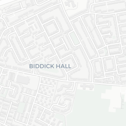
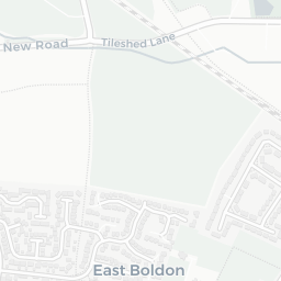
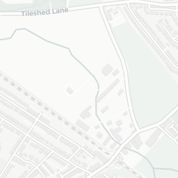
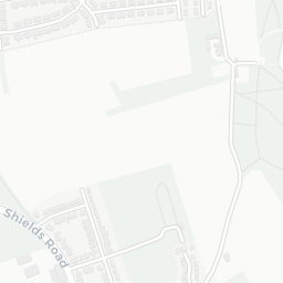
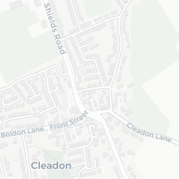
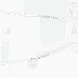
There are 30 schools within the typical catchment area, including 3 rated Outstanding by Ofsted and 22 rated Good. The nearest school is Cleadon Church of England Academy (Ofsted: Good), within a short walk.

Healthcare access is good, with 6 GP surgeries, 1 hospital and 4 dental practices in the wider neighbourhood. The nearest GP practice is S E GILL CHEMIST LIMITED, about 5 minutes' walk away. The nearest hospital is SOUTH TYNESIDE DISTRICT HOSPITAL, 1.5 mi away. A pharmacy is about 5 minutes' walk away.

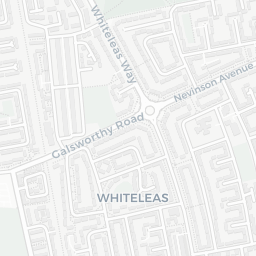
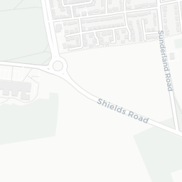
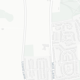
There are no train or Tube stations near SR6 7RP. Bus services provide the main public transport, with 23 bus stops in the immediate area.

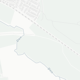
The location is in Flood Zone 1 (low risk — less than a 1 in 1,000 annual chance of river or sea flooding).

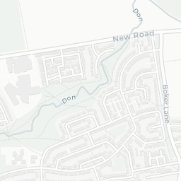
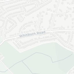
There are 5 green spaces within walking distance, totalling 4.3 hectares of parks and outdoor space. The nearest is Allotments (600 m²), about 5 minutes' walk away. It also lies just beside a nature reserve (about 14 minutes' walk away), adding open countryside that isn't recorded as a formal park.

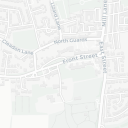
There are 13 supermarkets in the wider area, including Spar, Sainsburys, Tesco, Iceland and others. The nearest is Spar Ridgeway Service Station, about 14 minutes' walk away. A public library is 1.4 mi away.

Sources: DfE/Ofsted, UK Police API, NHS ODS, NaPTAN, Environment Agency, Ordnance Survey, Natural England, DEFRA, Geolytix and Arts Council England. For an interactive map view, explore SR6 7RP on NestScope.

Data: DfE/Ofsted · UK Police API · NHS ODS · NaPTAN · Ordnance Survey · Geolytix. Crown Copyright / OGL. Look up any postcode: nestscope.uk/area/YOUR+POSTCODE — e.g. SW1A 1AA, M1 1AE, BS1 1HT.

NestScope

All data from publicly available UK government sources. Each dimension uses a category-appropriate radius (walking distance for crime and transport, school catchment, drive distance for healthcare). IMD context is the latest published English Indices of Deprivation (2019). This report is for informational purposes only.