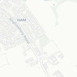
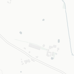
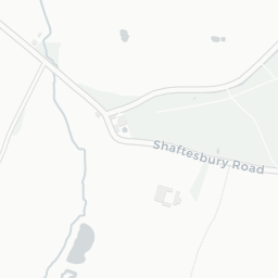
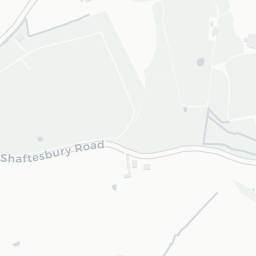
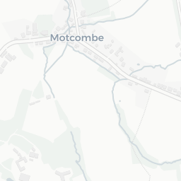
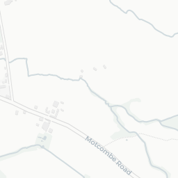
NestScope
SP7 9NT · Neighbourhood Report
© OpenStreetMap · © CARTO
Area Report
Last updated 15 JUN 2026

SP7 9NT

Neighbourhood Report

What's nearby — across walking, short-drive and school catchment distance. Data from official UK government sources.

NestScope Score
82/ 100

One of the most affluent neighbourhoods in England

Anchored on official IMD data — decile 9/10, ranked 27,612 of 32,844 neighbourhoods in England.

How this score is calculated
01 — Snapshot

Around SP7 9NT.

The large figure is how many we found nearby; the chip beside each label is that category’s NestScope score out of 100 — higher beats more of the UK.

Safety96/100
0crimes last month

IMD crime decile 10/10 · no crimes in 400m last month

Crimes reported last month · UK Police API

Healthcare73/100
0GP & hospitals

IMD health decile 9/10 · 2 dentists within 1.5 mi

Transport62/100

No rail stations within 0.5 miles · 3 bus stops nearby

Green space67/100
2green spaces

IMD environment decile 5/10 · 2.7 ha total — largest park 2.7 ha (0.16 mi away)

Nearest: Playground (500 m²) — 0.1 mi

Amenities63/100
7supermarkets

7 supermarkets within 2 mi — Asda, Morrisons, Tesco, Lidl… — library 1.6 mi

Nearest: Asda Ivy Cross Express Petrol — 1.5 mi

02 — Environment

Environment & risk near SP7 9NT.

Official risk flags for context — deliberately not part of the NestScope score (they’re categorical hazards, not amenities).

Flood risk
Zone 3 (high)

Flood Zone 3 — high risk (1 in 100 annual chance) · Source: Environment Agency Flood Map for Planning

Zone 1
Zone 2
Zone 3
Air qualityWithin WHO guideline
3.8µg/m³

NO₂ annual mean · WHO guideline 10 · UK limit 40 · Source: DEFRA UK-AIR 2024

<10
10–20
20–30
30–40
≥40
03 — House prices

Sold prices in SP7.

Average sold price by property type across the SP7 district, 202120261,658 sales.

£0£200k£400k£600k£800k202120222023202420252026
  • Detached
  • Semi-detached
  • Terraced
  • Flat
Detached£440k 11.0%
Semi-detached£320k 11.5%
Terraced£265k 5.8%
Flat£229k 28.3%

District-level averages (SP7) — broad enough to show a reliable trend. A single postcode usually sees too few sales to chart. Source: HM Land Registry Price Paid Data (Crown Copyright / OGL v3.0).

About SP7 9NT

SP7 9NT scores 82/100 on the NestScope Score, with its strongest showing in safety and schools — with no crimes reported on the surrounding streets last month. The breakdown below draws on official UK data covering schools, safety, healthcare, transport, environment and local amenities.

In national context, SP7 9NT is one of the most affluent neighbourhoods in England — IMD decile 9/10, ranked 27,612 of 32,844 neighbourhoods in England. The Index of Multiple Deprivation is the UK government's official measure of relative deprivation, refreshed roughly every five years. Housing pressure here is high (IMD housing decile 3/10).

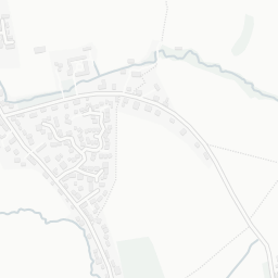
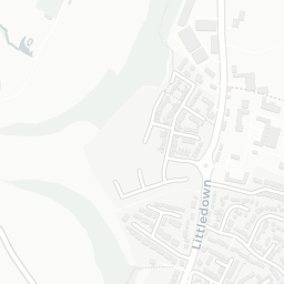
There are 5 schools within the typical catchment area, including 4 rated Good. The nearest school is Motcombe CofE Primary School (Ofsted: Good), about 2 minutes' walk away.

No crimes were reported on the surrounding streets in the most recent month, consistent with a very low local crime profile.

Healthcare access is available, with 2 dental practices in the wider neighbourhood.

There are no train or Tube stations near SP7 9NT. Bus services provide the main public transport, with 3 bus stops in the immediate area.

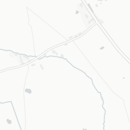
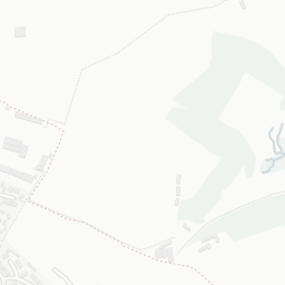
The location sits in Flood Zone 3 (high risk — between a 1 in 100 and 1 in 200 annual chance of river or sea flooding), which may affect insurance and mortgage availability.

There are 2 green spaces within walking distance, totalling 2.7 hectares of parks and outdoor space. The nearest is Playground (500 m²), about 3 minutes' walk away. It also lies just beside a AONB (0.9 mi away), adding open countryside that isn't recorded as a formal park.

There are 7 supermarkets in the wider area, including Asda, Morrisons, Tesco, Lidl and others. The nearest is Asda Ivy Cross Express Petrol, 1.5 mi away. A public library is 1.6 mi away.

Sources: DfE/Ofsted, UK Police API, NHS ODS, NaPTAN, Environment Agency, Ordnance Survey, Natural England, DEFRA, Geolytix and Arts Council England. For an interactive map view, explore SP7 9NT on NestScope.

Explore area insights about nearby locations

Data: DfE/Ofsted · UK Police API · NHS ODS · NaPTAN · Ordnance Survey · Geolytix. Crown Copyright / OGL. Look up any postcode: nestscope.uk/area/YOUR+POSTCODE — e.g. SW1A 1AA, M1 1AE, BS1 1HT.