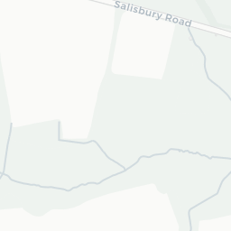
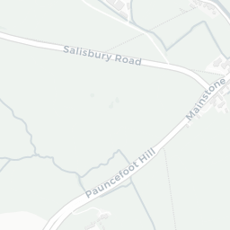
About SO51 8EP
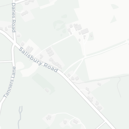
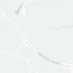
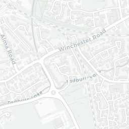
SO51 8EP scores 81/100 on the NestScope Score, with its strongest showing in local amenities and healthcare — with Co-op Romsey Central Romsey about 4 minutes' walk away. The breakdown below draws on official UK data covering schools, safety, healthcare, transport, environment and local amenities.
In national context, SO51 8EP is one of the most affluent neighbourhoods in England — IMD decile 9/10, ranked 26,947 of 32,844 neighbourhoods in England. The Index of Multiple Deprivation is the UK government's official measure of relative deprivation, refreshed roughly every five years. Housing pressure here is low (IMD housing decile 9/10).
There are 9 schools within the typical catchment area, including 6 rated Good. The nearest school is Romsey Abbey Church of England Primary School (Ofsted: Good), within a short walk.
There were 17 crimes reported on the surrounding streets in the most recent month, indicating a moderate level of immediate-area crime.
Healthcare access is good, with 7 GP surgeries, 1 hospital and 6 dental practices in the wider neighbourhood. The nearest GP practice is ABBEYWELL SURGERY, about 2 minutes' walk away. The nearest hospital is ROMSEY HOSPITAL, 0.9 mi away. A pharmacy is about 4 minutes' walk away.
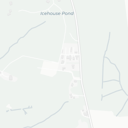
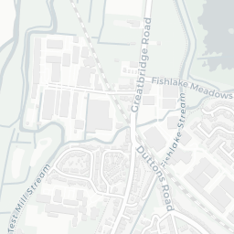
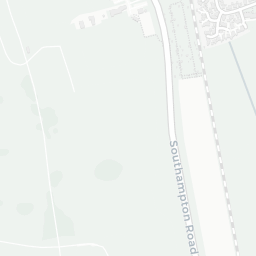
The nearest rail stations are Romsey Rail Station (Train, about 8 minutes' walk away). There are also 9 bus stops within walking distance.
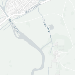
The location is in Flood Zone 1 (low risk — less than a 1 in 1,000 annual chance of river or sea flooding). road traffic noise is low (about 47 dB Lden).
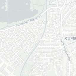
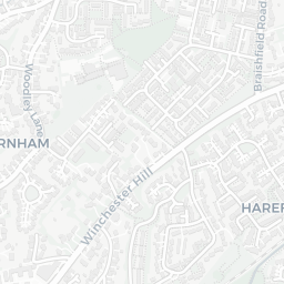
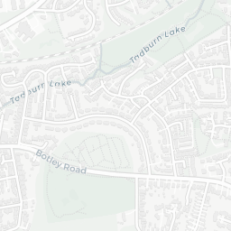
There are 5 green spaces within walking distance, totalling 3.5 hectares of parks and outdoor space. The nearest is Abbey Church of St Mary and St Ethelflaeda, within a short walk.
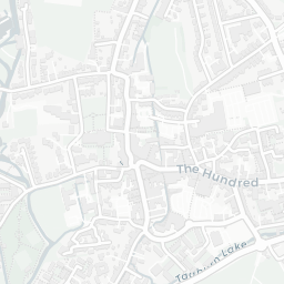
There are 11 supermarkets in the wider area, including The Southern Co-operative, Cook, Waitrose, Aldi and others. The nearest is Co-op Romsey Central Romsey, about 4 minutes' walk away. A public library is about 5 minutes' walk away.
Sources: DfE/Ofsted, UK Police API, NHS ODS, NaPTAN, Environment Agency, Ordnance Survey, Natural England, DEFRA, Geolytix and Arts Council England. For an interactive map view, explore SO51 8EP on NestScope.