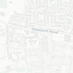
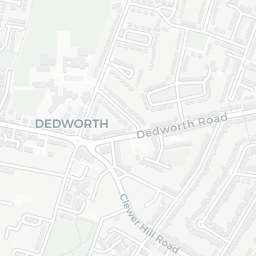
About SL4 3JP
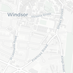
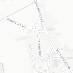
SL4 3JP scores 81/100 on the NestScope Score, with its strongest showing in healthcare and schools — with COMBERMERE MEDICAL CENTRE about 8 minutes' walk away. The breakdown below draws on official UK data covering schools, safety, healthcare, transport, environment and local amenities.
In national context, SL4 3JP is one of the most affluent neighbourhoods in England — IMD decile 9/10, ranked 27,484 of 32,844 neighbourhoods in England. The Index of Multiple Deprivation is the UK government's official measure of relative deprivation, refreshed roughly every five years. Housing pressure here is moderate (IMD housing decile 6/10).
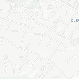
There are 28 schools within the typical catchment area, including 1 rated Outstanding by Ofsted and 16 rated Good. The nearest school is Trevelyan Middle School (Ofsted: Good), within a short walk.
There were 9 crimes reported on the surrounding streets in the most recent month, indicating a low level of immediate-area crime.
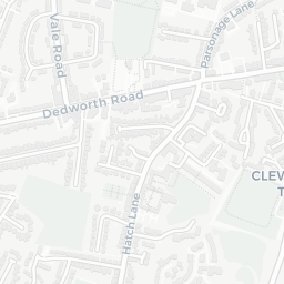
Healthcare access is good, with 8 GP surgeries, 3 hospitals and 12 dental practices in the wider neighbourhood. The nearest GP practice is COMBERMERE MEDICAL CENTRE, about 8 minutes' walk away. The nearest hospital is KING EDWARD VII HOSPITAL, about 5 minutes' walk away. A pharmacy is about 12 minutes' walk away.
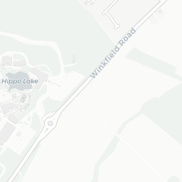
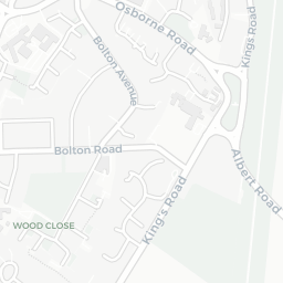
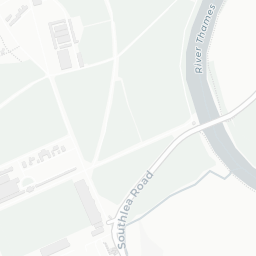
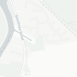
There are no train or Tube stations near SL4 3JP. Bus services provide the main public transport, with 18 bus stops in the immediate area.
The location sits in Flood Zone 2 (medium risk — between a 1 in 100 and 1 in 1,000 annual chance), which may affect insurance and mortgage availability. road traffic noise is low (about 52 dB Lden).
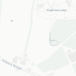
There are 10 green spaces within walking distance, totalling 22.4 hectares of parks and outdoor space. The nearest is Allotments (1.6 ha), within a short walk.
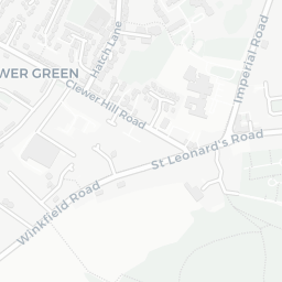
There are 14 supermarkets in the wider area, including Morrisons, Tesco, Marks and Spencer, The Southern Co-operative and others. The nearest is Morrisons Daily Windsor Springfield, about 11 minutes' walk away. A public library is 0.8 mi away.
Sources: DfE/Ofsted, UK Police API, NHS ODS, NaPTAN, Environment Agency, Ordnance Survey, Natural England, DEFRA, Geolytix and Arts Council England. For an interactive map view, explore SL4 3JP on NestScope.