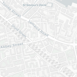
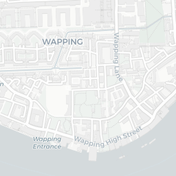
About SE16 5SU
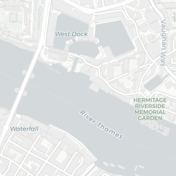
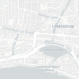
SE16 5SU scores 80/100 on the NestScope Score, with its strongest showing in transport and local amenities — with Limehouse Rail Station about 8 minutes' walk away. The breakdown below draws on official UK data covering schools, safety, healthcare, transport, environment and local amenities.
In national context, SE16 5SU is a well-off neighbourhood — IMD decile 8/10, ranked 26,189 of 32,844 neighbourhoods in England. The Index of Multiple Deprivation is the UK government's official measure of relative deprivation, refreshed roughly every five years. Housing pressure here is high (IMD housing decile 3/10).
There are 164 schools within the typical catchment area, including 30 rated Outstanding by Ofsted and 74 rated Good. The nearest school is Peter Hills with St Mary's and St Paul's CofE Primary School (Ofsted: Good), within a short walk.
There were 37 crimes reported on the surrounding streets in the most recent month, indicating a elevated level of immediate-area crime.
Healthcare access is good, with 46 GP surgeries, 5 hospitals and 46 dental practices in the wider neighbourhood. The nearest GP practice is ALBION STREET GROUP PRACTICE, about 11 minutes' walk away. The nearest hospital is LONDON INDEPENDENT HOSPITAL, 0.9 mi away. A pharmacy is about 13 minutes' walk away.
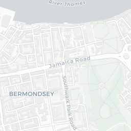
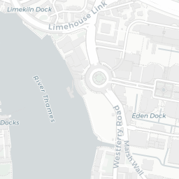
The nearest rail stations are Limehouse Rail Station (Train, about 8 minutes' walk away), Limehouse DLR Station (Tube/Metro, about 8 minutes' walk away). There are also 30 bus stops within walking distance.
The location sits in Flood Zone 3 (high risk — between a 1 in 100 and 1 in 200 annual chance of river or sea flooding), which may affect insurance and mortgage availability. road traffic noise is low (about 53 dB Lden).
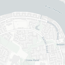
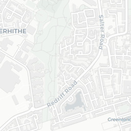
There are 28 green spaces within walking distance, totalling 25 hectares of parks and outdoor space. The nearest is Playground (100 m²), about 3 minutes' walk away. It also lies just beside a nature reserve (about 2 minutes' walk away), adding open countryside that isn't recorded as a formal park.
There are 116 supermarkets in the wider area, including The Co-operative Group, Sainsburys, Asda, Tesco and others. The nearest is Co-op Rotherhithe Street London, within a short walk. A public library is about 13 minutes' walk away.
Sources: DfE/Ofsted, UK Police API, NHS ODS, NaPTAN, Environment Agency, Ordnance Survey, Natural England, DEFRA, Geolytix and Arts Council England. For an interactive map view, explore SE16 5SU on NestScope.