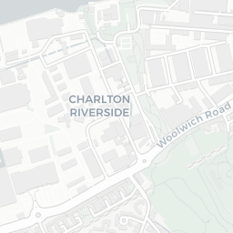
Area Report
Last updated 17 JUN 2026Neighbourhood Report
What's nearby — across walking, short-drive and school catchment distance. Data from official UK government sources.
01 — Snapshot
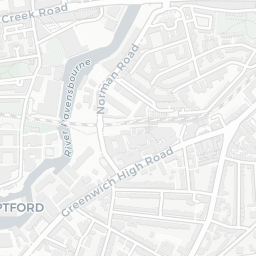
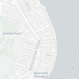
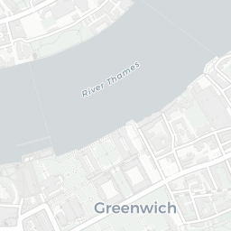
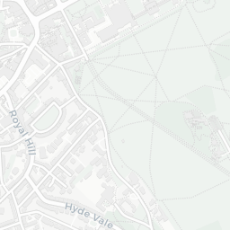
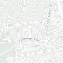
Around SE10 9NP.
The large figure is how many we found nearby; the chip beside each label is that category’s NestScope score out of 100 — higher beats more of the UK.
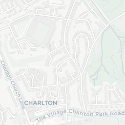
Schools75/100
14Good/Outstanding within 1 mi
53 rated Good or better within 2 mi · 97 schools in total
Nearest top-rated: Meridian Primary School (Good) — 0.1 mi
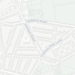
Safety40/100
58crimes last month
IMD crime decile 2/10 · 58 crimes in 400m last month (residential-weighted: 12.7)
Crimes reported last month · UK Police API
Healthcare76/100
27GP & hospitals
IMD health decile 5/10 · 27 GP, 28 dentists, pharmacy 0.2 mi within 1.5 mi
Nearest GP: BURNEY STREET PMS — 0.2 mi
Transport82/100
Maze Hill Rail Station0.3 mi
Island Gardens DLR Station0.3 mi
Island Gardens DLR Station0.4 mi
Cutty Sark (for Maritime Greenwich) DLR Station0.4 mi
24 bus stops also within 0.5 miles
Green space64/100
24green spaces
IMD environment decile 2/10 · 13.8 ha total — largest park 8.6 ha (0.47 mi away)
Nearest: Sports Facility (300 m²) — 0.0 mi
Amenities90/100
80supermarkets
80 supermarkets within 2 mi — Marks and Spencer, Tesco, The Co-operative Group, Sainsburys… — nearest 0.1 mi — library 0.5 mi
Nearest: M&S Trafalgar Greenwich BP — 0.1 mi
02 — Environment
Environment & risk near SE10 9NP.
Official risk flags for context — deliberately not part of the NestScope score (they’re categorical hazards, not amenities).
Flood risk
Zone 3 (high)
Flood Zone 3 — high risk (1 in 100 annual chance) · Source: Environment Agency Flood Map for Planning
Air qualityLow
19.9µg/m³
NO₂ annual mean · WHO guideline 10 · UK limit 40 · Source: DEFRA UK-AIR 2024
Road noiseQuiet
48dB Lden
Road traffic, day-evening-night average · Source: DEFRA strategic noise mapping
About SE10 9NP
SE10 9NP scores 56/100 on the NestScope Score, with its strongest showing in local amenities and transport — with M&S Trafalgar Greenwich BP about 3 minutes' walk away. The main trade-off is its safety score. The breakdown below draws on official UK data covering schools, safety, healthcare, transport, environment and local amenities.