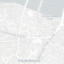
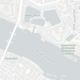
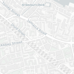
NestScope
SE1 8ST · Neighbourhood Report
© OpenStreetMap · © CARTO
Area Report
Last updated 17 JUN 2026

SE1 8ST

Neighbourhood Report

What's nearby — across walking, short-drive and school catchment distance. Data from official UK government sources.

NestScope Score
60/ 100

A mixed, mid-ranking neighbourhood

Anchored on official IMD data — decile 4/10, ranked 11,736 of 32,844 neighbourhoods in England.

How this score is calculated
01 — Snapshot

Around SE1 8ST.

The large figure is how many we found nearby; the chip beside each label is that category’s NestScope score out of 100 — higher beats more of the UK.

Schools74/100
13Good/Outstanding within 1 mi

77 rated Good or better within 2 mi · 160 schools in total

Nearest top-rated: Oasis Academy South Bank Primary (Good) — 0.3 mi

Safety45/100
226crimes last month

IMD crime decile 4/10 · 226 crimes in 400m last month (residential-weighted: 145.3)

Crimes reported last month · UK Police API

Healthcare81/100
89GP & hospitals

IMD health decile 5/10 · 79 GP, 10 hospitals, 82 dentists, pharmacy 0.2 mi within 1.5 mi

Nearest GP: LIVI - WESTROP SYSTMONE HUB — 0.1 mi

Transport82/100
London Waterloo East Rail Station0.1 mi
London Waterloo Rail Station0.2 mi
Southwark Underground Station0.2 mi
Waterloo Underground Station0.2 mi
Southwark Underground Station0.2 mi

55 bus stops also within 0.5 miles

Green space49/100
24green spaces

IMD environment decile 1/10 · 5.6 ha total — no proper park nearby

Nearest: Sports Facility (600 m²) — 0.1 mi

Amenities91/100
207supermarkets

207 supermarkets within 2 mi — Sainsburys, Tesco, Marks and Spencer, Waitrose… — nearest 0.2 mi — library 0.5 mi

Nearest: Sainsburys Waterloo Local — 0.2 mi

02 — Environment

Environment & risk near SE1 8ST.

Official risk flags for context — deliberately not part of the NestScope score (they’re categorical hazards, not amenities).

Flood risk
Zone 3 (high)

Flood Zone 3 — high risk (1 in 100 annual chance) · Source: Environment Agency Flood Map for Planning

Zone 1
Zone 2
Zone 3
Air qualityHigh (approaching UK limit)
30.8µg/m³

NO₂ annual mean · WHO guideline 10 · UK limit 40 · Source: DEFRA UK-AIR 2024

<10
10–20
20–30
30–40
≥40
Road noiseModerate
58dB Lden

Road traffic, day-evening-night average · Source: DEFRA strategic noise mapping

<55
55–64
65–74
≥75
Rail noiseModerate
55dB Lden

Railways, day-evening-night average · Source: DEFRA strategic noise mapping

<55
55–64
65–74
≥75
03 — House prices

Sold prices in SE1.

Average sold price by property type across the SE1 district, 202120264,704 sales.

£0£1M£2M£3M202120222023202420252026
  • Detached
  • Semi-detached
  • Terraced
  • Flat
Detached
Semi-detached£1.0M 29.4%
Terraced£678k 34.2%
Flat£593k 35.8%

District-level averages (SE1) — broad enough to show a reliable trend. A single postcode usually sees too few sales to chart. Source: HM Land Registry Price Paid Data (Crown Copyright / OGL v3.0).

About SE1 8ST

SE1 8ST scores 60/100 on the NestScope Score, with its strongest showing in local amenities and transport — with Sainsburys Waterloo Local about 3 minutes' walk away. The breakdown below draws on official UK data covering schools, safety, healthcare, transport, environment and local amenities.

Explore area insights about nearby locations

Data: DfE/Ofsted · UK Police API · NHS ODS · NaPTAN · Ordnance Survey · Geolytix. Crown Copyright / OGL. Look up any postcode: nestscope.uk/area/YOUR+POSTCODE — e.g. SW1A 1AA, M1 1AE, BS1 1HT.