
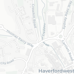
About SA61 2UR
SA61 2UR scores 74/100 on the NestScope Score, with its strongest showing in safety and healthcare — with no crimes reported on the surrounding streets last month. The breakdown below draws on official UK data covering schools, safety, healthcare, transport, environment and local amenities.
SA61 2UR sits outside England, so the national deprivation backbone (IMD) that anchors the NestScope Score isn't available — the figures below are based on local amenities only.
There are 9 schools within the typical catchment area. The nearest school is Fenton C.P, 0.8 mi away.
No crimes were reported on the surrounding streets in the most recent month, consistent with a very low local crime profile.
Healthcare access is good, with 8 GP surgeries and 1 dental practice in the wider neighbourhood. The nearest GP practice is ACUTE VISITING SERVICE, 1.0 mi away. A pharmacy is 0.8 mi away.
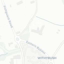
There are no public transport stops near SA61 2UR, making this a more car-dependent location.
The location is in Flood Zone 1 (low risk — less than a 1 in 1,000 annual chance of river or sea flooding).
There are 2 green spaces within walking distance, totalling 0.7 hectares of parks and outdoor space. The nearest is Playground (400 m²), about 7 minutes' walk away.
There are 6 supermarkets in the wider area, including Lidl, Morrisons, Tesco, Marks and Spencer and others. The nearest is Lidl Perrots Road Haverfordwest, 0.8 mi away.
Sources: DfE/Ofsted, UK Police API, NHS ODS, NaPTAN, Environment Agency, Ordnance Survey, Natural England, DEFRA, Geolytix and Arts Council England. For an interactive map view, explore SA61 2UR on NestScope.