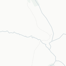
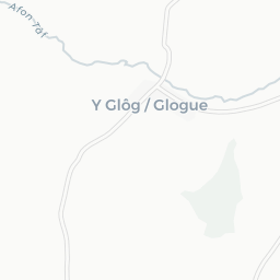
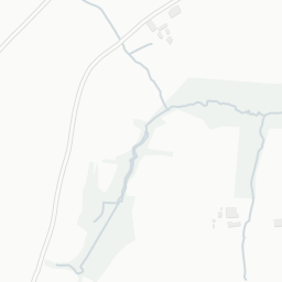
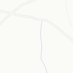
About SA35 0BE
SA35 0BE scores 71/100 on the NestScope Score, with its strongest showing in safety and schools — with no crimes reported on the surrounding streets last month. The breakdown below draws on official UK data covering schools, safety, healthcare, transport, environment and local amenities.
SA35 0BE sits outside England, so the national deprivation backbone (IMD) that anchors the NestScope Score isn't available — the figures below are based on local amenities only.
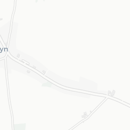
There is 1 school within the typical catchment area. The nearest school is Ysgol Clydau, about 4 minutes' walk away.
No crimes were reported on the surrounding streets in the most recent month, consistent with a very low local crime profile.
There are no GP surgeries, hospitals or pharmacies within easy reach of SA35 0BE. Residents may need to travel further for healthcare access.
There are no train or Tube stations near SA35 0BE. Bus services provide the main public transport, with 2 bus stops in the immediate area.
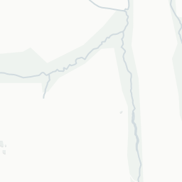
The location is in Flood Zone 1 (low risk — less than a 1 in 1,000 annual chance of river or sea flooding).
There are 3 green spaces within walking distance, totalling 1.1 hectares of parks and outdoor space. The nearest is Playground (0.15 ha), within a short walk.
There are no supermarkets in the immediate area around SA35 0BE. Grocery shopping may require a car or delivery service.
Sources: DfE/Ofsted, UK Police API, NHS ODS, NaPTAN, Environment Agency, Ordnance Survey, Natural England, DEFRA, Geolytix and Arts Council England. For an interactive map view, explore SA35 0BE on NestScope.