Area Report
Last updated 17 JUN 2026Neighbourhood Report
What's nearby — across walking, short-drive and school catchment distance. Data from official UK government sources.
01 — Snapshot
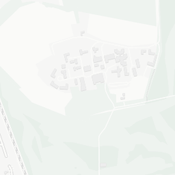
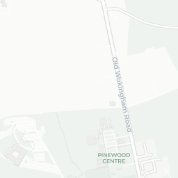
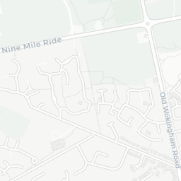
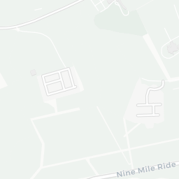
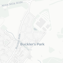
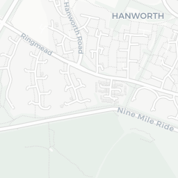
Around RG45 6LP.
The large figure is how many we found nearby; the chip beside each label is that category’s NestScope score out of 100 — higher beats more of the UK.
Schools91/100
4Good/Outstanding within 1 mi
14 rated Good or better within 2 mi · 22 schools in total
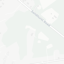
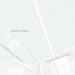
Nearest top-rated: Hatch Ride Primary School (Good) — 0.0 mi
Safety91/100
3crimes last month
IMD crime decile 10/10 · 3 crimes in 400m last month (residential-weighted: 1.6)
Crimes reported last month · UK Police API
Healthcare88/100
3GP & hospitals
IMD health decile 10/10 · 2 GP, 1 hospital, 2 dentists, pharmacy 0.8 mi within 1.5 mi
Nearest GP: NEW WOKINGHAM ROAD SURGERY — 0.7 mi
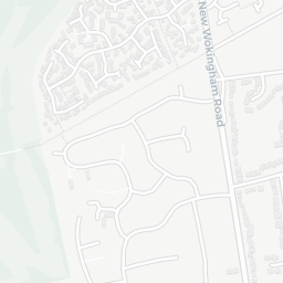
Transport72/100
No rail stations within 0.5 miles · 13 bus stops nearby
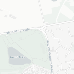
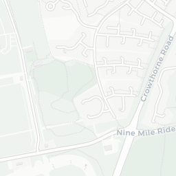
Green space86/100
8green spaces
IMD environment decile 10/10 · 9 ha total — largest park 6.3 ha (0.14 mi away)
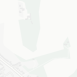
Nearest: Bigshotte Park — 0.1 mi
Amenities79/100
7supermarkets
7 supermarkets within 2 mi — Tesco, Midcounties Co-operative, Marks and Spencer, Lidl… — nearest 0.2 mi — library 0.8 mi
Nearest: Tesco Crowthorne Greenwood Express — 0.2 mi
02 — Environment
Environment & risk near RG45 6LP.
Official risk flags for context — deliberately not part of the NestScope score (they’re categorical hazards, not amenities).
Flood risk
Zone 2 (medium)
Flood Zone 2 — medium risk (1 in 100 to 1 in 1,000) · Source: Environment Agency Flood Map for Planning
Air qualityWithin WHO guideline
8.1µg/m³
NO₂ annual mean · WHO guideline 10 · UK limit 40 · Source: DEFRA UK-AIR 2024
Road noiseQuiet
46dB Lden
Road traffic, day-evening-night average · Source: DEFRA strategic noise mapping
About RG45 6LP
RG45 6LP scores 90/100 on the NestScope Score, with its strongest showing in schools and safety — with Hatch Ride Primary School within a short walk. The breakdown below draws on official UK data covering schools, safety, healthcare, transport, environment and local amenities.