About RG40 1TS
RG40 1TS scores 88/100 on the NestScope Score, with its strongest showing in healthcare and schools — with MODALITY WOKINGHAM PCN HUB about 7 minutes' walk away. The breakdown below draws on official UK data covering schools, safety, healthcare, transport, environment and local amenities.
In national context, RG40 1TS is one of the most affluent neighbourhoods in England — IMD decile 10/10, ranked 30,754 of 32,844 neighbourhoods in England. The Index of Multiple Deprivation is the UK government's official measure of relative deprivation, refreshed roughly every five years. Housing pressure here is moderate (IMD housing decile 5/10).
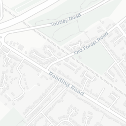
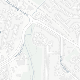
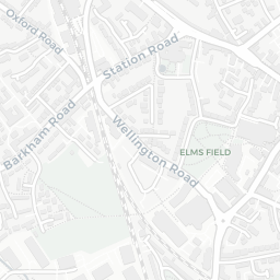
There are 31 schools within the typical catchment area, including 5 rated Outstanding by Ofsted and 16 rated Good. The nearest school is High Close School (Ofsted: Good), about 2 minutes' walk away.
There were 2 crimes reported on the surrounding streets in the most recent month, indicating a very low level of immediate-area crime.
Healthcare access is good, with 15 GP surgeries, 1 hospital and 8 dental practices in the wider neighbourhood. The nearest GP practice is MODALITY WOKINGHAM PCN HUB, about 7 minutes' walk away. The nearest hospital is WOKINGHAM HOSPITAL, 0.8 mi away. A pharmacy is about 7 minutes' walk away.
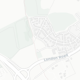
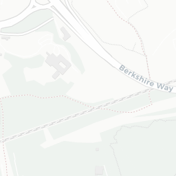
There are no train or Tube stations near RG40 1TS. Bus services provide the main public transport, with 25 bus stops in the immediate area.
The location is in Flood Zone 1 (low risk — less than a 1 in 1,000 annual chance of river or sea flooding).
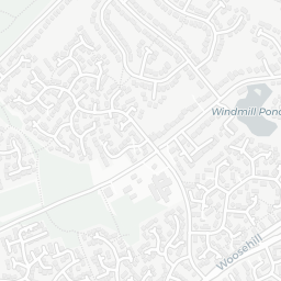
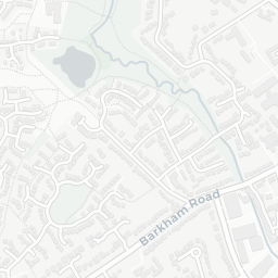
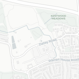
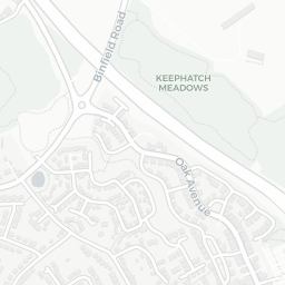
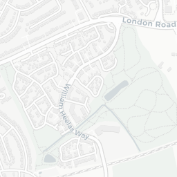
There are 18 green spaces within walking distance, totalling 32.5 hectares of parks and outdoor space. The nearest is Park (0.14 ha), about 4 minutes' walk away. It also lies just beside a nature reserve (about 10 minutes' walk away), adding open countryside that isn't recorded as a formal park.
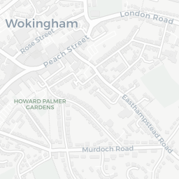
There are 15 supermarkets in the wider area, including Sainsburys, The Co-operative Group, Waitrose, Cook and others. The nearest is Sainsburys Wokingham Ashridge Road Local, about 4 minutes' walk away. A public library is 0.7 mi away.
Sources: DfE/Ofsted, UK Police API, NHS ODS, NaPTAN, Environment Agency, Ordnance Survey, Natural England, DEFRA, Geolytix and Arts Council England. For an interactive map view, explore RG40 1TS on NestScope.