About RG12 9TL
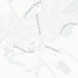
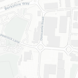
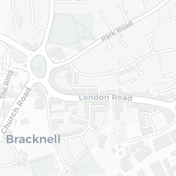
RG12 9TL scores 76/100 on the NestScope Score, with its strongest showing in healthcare and green space — with B & A CCG EXTENDED HOURS SERVICE about 5 minutes' walk away. The breakdown below draws on official UK data covering schools, safety, healthcare, transport, environment and local amenities.
In national context, RG12 9TL is a well-off neighbourhood — IMD decile 7/10, ranked 22,515 of 32,844 neighbourhoods in England. The Index of Multiple Deprivation is the UK government's official measure of relative deprivation, refreshed roughly every five years. Housing pressure here is high (IMD housing decile 2/10).
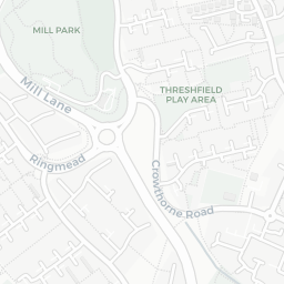
There are 26 schools within the typical catchment area, including 19 rated Good. The nearest school is Ranelagh School, about 2 minutes' walk away.
There were 16 crimes reported on the surrounding streets in the most recent month, indicating a moderate level of immediate-area crime.
Healthcare access is good, with 15 GP surgeries, 1 hospital and 11 dental practices in the wider neighbourhood. The nearest GP practice is B & A CCG EXTENDED HOURS SERVICE, about 5 minutes' walk away. The nearest hospital is CHURCH HILL HOUSE HOSPITAL, 1.0 mi away. A pharmacy is about 9 minutes' walk away.
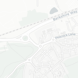
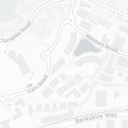
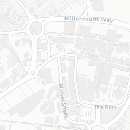
The nearest rail stations are Bracknell Rail Station (Train, about 8 minutes' walk away). There are also 19 bus stops within walking distance.
The location is in Flood Zone 1 (low risk — less than a 1 in 1,000 annual chance of river or sea flooding).
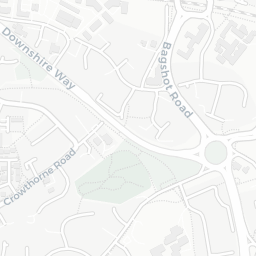
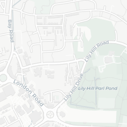
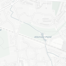
There are 19 green spaces within walking distance, totalling 31.2 hectares of parks and outdoor space. The nearest is Sports Facility (3.5 ha), about 3 minutes' walk away. It also lies just beside a nature reserve (0.9 mi away), adding open countryside that isn't recorded as a formal park.
There are 21 supermarkets in the wider area, including Waitrose, Tesco, Budgens, Morrisons and others. The nearest is Little Waitrose Shell Bagshot Road Bracknell, about 8 minutes' walk away. A public library is about 11 minutes' walk away.
Sources: DfE/Ofsted, UK Police API, NHS ODS, NaPTAN, Environment Agency, Ordnance Survey, Natural England, DEFRA, Geolytix and Arts Council England. For an interactive map view, explore RG12 9TL on NestScope.