
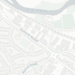
About RG1 8AX
RG1 8AX scores 70/100 on the NestScope Score, with its strongest showing in local amenities and transport — with Aldi Reading about 3 minutes' walk away. The main trade-off is its safety score. The breakdown below draws on official UK data covering schools, safety, healthcare, transport, environment and local amenities.
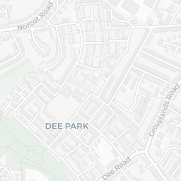
In national context, RG1 8AX is a well-off neighbourhood — IMD decile 7/10, ranked 20,880 of 32,844 neighbourhoods in England. The Index of Multiple Deprivation is the UK government's official measure of relative deprivation, refreshed roughly every five years. Housing pressure here is moderate (IMD housing decile 6/10).
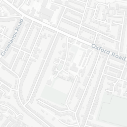
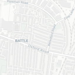
There are 51 schools within the typical catchment area, including 4 rated Outstanding by Ofsted and 26 rated Good. The nearest school is E P Collier Primary School (Ofsted: Good), about 2 minutes' walk away.
There were 52 crimes reported on the surrounding streets in the most recent month, indicating a elevated level of immediate-area crime.
Healthcare access is good, with 31 GP surgeries, 6 hospitals and 14 dental practices in the wider neighbourhood. The nearest GP practice is BALMORE PARK SURGERY, about 7 minutes' walk away. The nearest hospital is BATH ROAD DAY HOSPITAL, 0.9 mi away. A pharmacy is about 7 minutes' walk away.
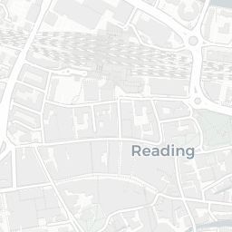
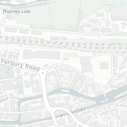
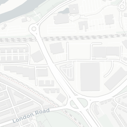
The nearest rail stations are Reading Rail Station (Train, about 6 minutes' walk away). There are also 52 bus stops within walking distance.
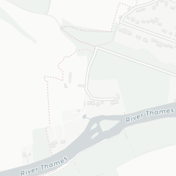
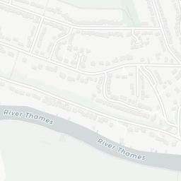
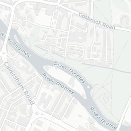
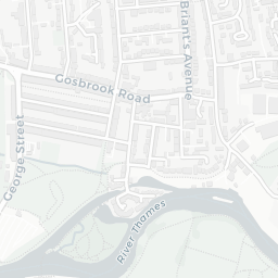
The location sits in Flood Zone 3 (high risk — between a 1 in 100 and 1 in 200 annual chance of river or sea flooding), which may affect insurance and mortgage availability. road traffic noise is high (about 73 dB Lden), and rail noise is low (about 43 dB Lden).
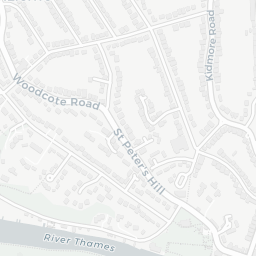
There are 14 green spaces within walking distance, totalling 34.4 hectares of parks and outdoor space. The nearest is Bowling Green (0.15 ha), about 2 minutes' walk away.
There are 37 supermarkets in the wider area, including Aldi, Iceland, Waitrose, Marks and Spencer and others. The nearest is Aldi Reading, about 3 minutes' walk away. A public library is about 7 minutes' walk away.
Sources: DfE/Ofsted, UK Police API, NHS ODS, NaPTAN, Environment Agency, Ordnance Survey, Natural England, DEFRA, Geolytix and Arts Council England. For an interactive map view, explore RG1 8AX on NestScope.