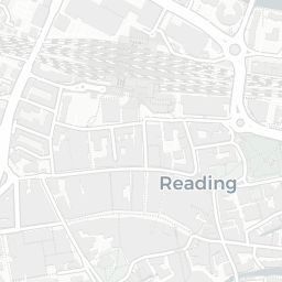
About RG1 6NR
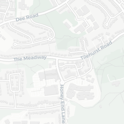
RG1 6NR scores 65/100 on the NestScope Score, with its strongest showing in local amenities and transport — with Tesco Reading Tilehurst Express about 4 minutes' walk away. The breakdown below draws on official UK data covering schools, safety, healthcare, transport, environment and local amenities.
In national context, RG1 6NR is an above-average neighbourhood — IMD decile 5/10, ranked 15,379 of 32,844 neighbourhoods in England. The Index of Multiple Deprivation is the UK government's official measure of relative deprivation, refreshed roughly every five years. Housing pressure here is high (IMD housing decile 3/10).
There are 57 schools within the typical catchment area, including 6 rated Outstanding by Ofsted and 31 rated Good. The nearest school is All Saints Church of England Aided Infant School (Ofsted: Good), within a short walk.
There were 67 crimes reported on the surrounding streets in the most recent month, indicating a elevated level of immediate-area crime.
Healthcare access is good, with 32 GP surgeries, 8 hospitals and 14 dental practices in the wider neighbourhood. The nearest GP practice is WESTERN ELMS & CIRCUIT LANE SURGERIES, about 5 minutes' walk away. The nearest hospital is BUPA DUNEDIN HOSPITAL, about 3 minutes' walk away. A pharmacy is about 7 minutes' walk away.
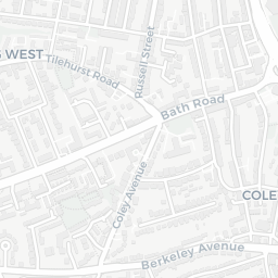
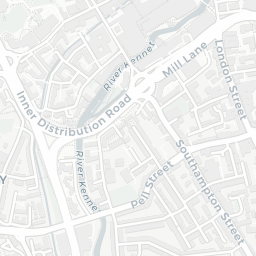
The nearest rail stations are Reading West Rail Station (Train, about 5 minutes' walk away). There are also 33 bus stops within walking distance.
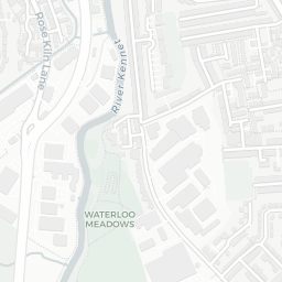
The location is in Flood Zone 1 (low risk — less than a 1 in 1,000 annual chance of river or sea flooding).
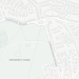
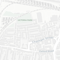
There are 13 green spaces within walking distance, totalling 2.2 hectares of parks and outdoor space. The nearest is All Saints' Church, within a short walk.
There are 40 supermarkets in the wider area, including Tesco, Marks and Spencer, Lidl, Morrisons and others. The nearest is Tesco Reading Tilehurst Express, about 4 minutes' walk away. A public library is about 13 minutes' walk away.
Sources: DfE/Ofsted, UK Police API, NHS ODS, NaPTAN, Environment Agency, Ordnance Survey, Natural England, DEFRA, Geolytix and Arts Council England. For an interactive map view, explore RG1 6NR on NestScope.