NestScope
PR7 3LS · Neighbourhood Report
© OpenStreetMap · © CARTO
Area Report
Last updated 17 JUN 2026

PR7 3LS

Neighbourhood Report

What's nearby — across walking, short-drive and school catchment distance. Data from official UK government sources.

NestScope Score
77/ 100

A well-off neighbourhood

Anchored on official IMD data — decile 8/10, ranked 25,539 of 32,844 neighbourhoods in England.

How this score is calculated
01 — Snapshot

Around PR7 3LS.

The large figure is how many we found nearby; the chip beside each label is that category’s NestScope score out of 100 — higher beats more of the UK.

Safety72/100
2crimes last month

IMD crime decile 6/10 · 2 crimes in 400m last month (residential-weighted: 1.3)

Crimes reported last month · UK Police API

Healthcare80/100
6GP & hospitals

IMD health decile 7/10 · 6 GP, 5 dentists, pharmacy 0.4 mi within 1.5 mi

Nearest GP: LIBRARY HOUSE SURGERY — 0.9 mi

Transport68/100

No rail stations within 0.5 miles · 19 bus stops nearby

Green space68/100
6green spaces

IMD environment decile 6/10 · beside Country Park (3.8 ha total — no proper park nearby)

Nearest: Playground (200 m²) — 0.1 mi

Amenities77/100
19supermarkets

19 supermarkets within 2 mi — Asda, Heron, Morrisons, Iceland… — nearest 0.5 mi — library 1.2 mi

Nearest: Asda Chorley - Moor Road PFS Express — 0.5 mi

02 — Environment

Environment & risk near PR7 3LS.

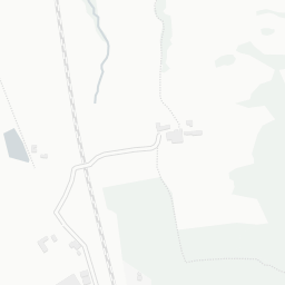
Official risk flags for context — deliberately not part of the NestScope score (they’re categorical hazards, not amenities).
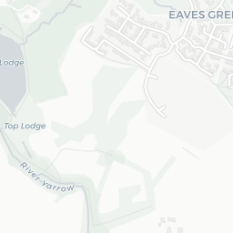
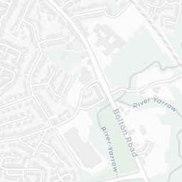
Flood risk
Zone 1 (low)

Flood Zone 1 — low risk (less than 1 in 1,000 annual chance) · Source: Environment Agency Flood Map for Planning

Zone 1
Zone 2
Zone 3
Air qualityWithin WHO guideline
7.4µg/m³

NO₂ annual mean · WHO guideline 10 · UK limit 40 · Source: DEFRA UK-AIR 2024

<10
10–20
20–30
30–40
≥40
03 — House prices

Sold prices in PR7.

Average sold price by property type across the PR7 district, 202120266,095 sales.

£0£100k£200k£300k£400k202120222023202420252026
  • Detached
  • Semi-detached
  • Terraced
  • Flat
Detached£398k 22.3%
Semi-detached£230k 24.0%
Terraced£155k 8.6%
Flat£122k 10.7%

District-level averages (PR7) — broad enough to show a reliable trend. A single postcode usually sees too few sales to chart. Source: HM Land Registry Price Paid Data (Crown Copyright / OGL v3.0).

About PR7 3LS

PR7 3LS scores 77/100 on the NestScope Score, with its strongest showing in schools and healthcare — with Holy Cross Catholic High School within a short walk. The breakdown below draws on official UK data covering schools, safety, healthcare, transport, environment and local amenities.

Data: DfE/Ofsted · UK Police API · NHS ODS · NaPTAN · Ordnance Survey · Geolytix. Crown Copyright / OGL. Look up any postcode: nestscope.uk/area/YOUR+POSTCODE — e.g. SW1A 1AA, M1 1AE, BS1 1HT.