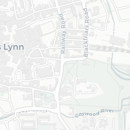
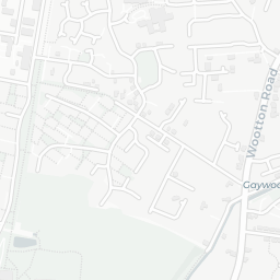
NestScope
PE30 2NB · Neighbourhood Report
© OpenStreetMap · © CARTO
Area Report
Last updated 16 JUN 2026

PE30 2NB

Neighbourhood Report

What's nearby — across walking, short-drive and school catchment distance. Data from official UK government sources.

NestScope Score
43/ 100

A more affordable, lower-income neighbourhood

Anchored on official IMD data — decile 1/10, ranked 1,374 of 32,844 neighbourhoods in England.

How this score is calculated
01 — Snapshot

Around PE30 2NB.

The large figure is how many we found nearby; the chip beside each label is that category’s NestScope score out of 100 — higher beats more of the UK.

Schools42/100
7Good/Outstanding within 1 mi

14 rated Good or better within 2 mi · 23 schools in total

Nearest top-rated: Eastgate Academy (Outstanding) — 0.5 mi

Safety42/100
9crimes last month

IMD crime decile 1/10 · 9 crimes in 400m last month (residential-weighted: 6.4)

Crimes reported last month · UK Police API

Healthcare68/100
8GP & hospitals

IMD health decile 1/10 · 6 GP, 2 hospitals, 9 dentists, pharmacy 0.4 mi within 1.5 mi

Nearest GP: VIDA HEALTHCARE — 0.6 mi

Transport41/100

No rail stations within 0.5 miles

Green space80/100
19green spaces

IMD environment decile 7/10 · 33 ha total — largest park 21.5 ha (0.28 mi away)

Nearest: Playground (400 m²) — 0.0 mi

Amenities93/100
16supermarkets

16 supermarkets within 2 mi — Tesco, Aldi, Farmfoods, Morrisons… — nearest 0.3 mi — library 0.4 mi

Nearest: Tesco King's Lynn Superstore — 0.3 mi

02 — Environment

Environment & risk near PE30 2NB.

Official risk flags for context — deliberately not part of the NestScope score (they’re categorical hazards, not amenities).

Flood risk
Zone 3 (high)

Flood Zone 3 — high risk (1 in 100 annual chance) · Source: Environment Agency Flood Map for Planning

Zone 1
Zone 2
Zone 3
Air qualityWithin WHO guideline
8.4µg/m³

NO₂ annual mean · WHO guideline 10 · UK limit 40 · Source: DEFRA UK-AIR 2024

<10
10–20
20–30
30–40
≥40
Road noiseQuiet
53dB Lden

Road traffic, day-evening-night average · Source: DEFRA strategic noise mapping

<55
55–64
65–74
≥75
03 — House prices

Sold prices in PE30.

Average sold price by property type across the PE30 district, 202120263,493 sales.

£0£100k£200k£300k£400k202120222023202420252026
  • Detached
  • Semi-detached
  • Terraced
  • Flat
Detached£321k 2.4%
Semi-detached£240k 16.6%
Terraced£172k 7.0%
Flat£125k 18.3%

District-level averages (PE30) — broad enough to show a reliable trend. A single postcode usually sees too few sales to chart. Source: HM Land Registry Price Paid Data (Crown Copyright / OGL v3.0).

About PE30 2NB

PE30 2NB scores 43/100 on the NestScope Score, with its strongest showing in local amenities and green space — with Tesco King's Lynn Superstore about 6 minutes' walk away. The main trade-off is its transport score. The breakdown below draws on official UK data covering schools, safety, healthcare, transport, environment and local amenities.

In national context, PE30 2NB is a more affordable, lower-income neighbourhood — IMD decile 1/10, ranked 1,374 of 32,844 neighbourhoods in England. The Index of Multiple Deprivation is the UK government's official measure of relative deprivation, refreshed roughly every five years. Housing pressure here is moderate (IMD housing decile 7/10).

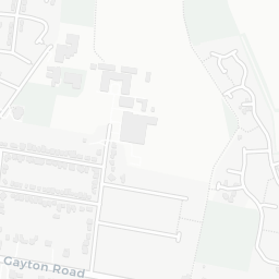
There are 23 schools within the typical catchment area, including 2 rated Outstanding by Ofsted and 12 rated Good. The nearest school is Highgate Infant School, about 6 minutes' walk away.

There were 9 crimes reported on the surrounding streets in the most recent month, indicating a low level of immediate-area crime.

Healthcare access is good, with 6 GP surgeries, 2 hospitals and 9 dental practices in the wider neighbourhood. The nearest GP practice is VIDA HEALTHCARE, about 11 minutes' walk away. The nearest hospital is QUEEN ELIZABETH HOSPITAL, 1.5 mi away. A pharmacy is about 9 minutes' walk away.

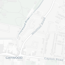
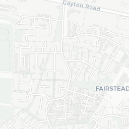
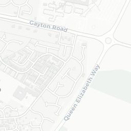
There are no public transport stops near PE30 2NB, making this a more car-dependent location.

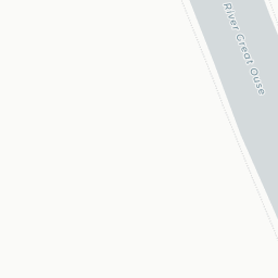
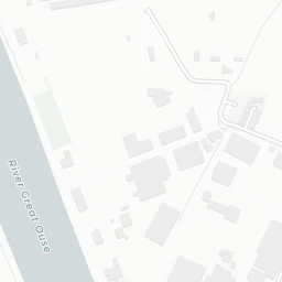
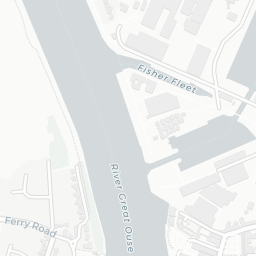
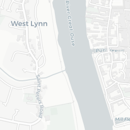
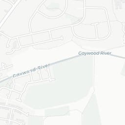
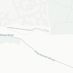
The location sits in Flood Zone 3 (high risk — between a 1 in 100 and 1 in 200 annual chance of river or sea flooding), which may affect insurance and mortgage availability. road traffic noise is low (about 53 dB Lden).

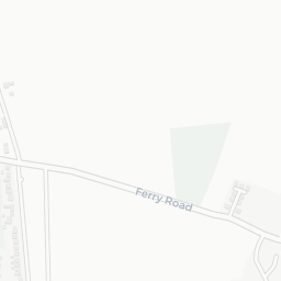
There are 19 green spaces within walking distance, totalling 33 hectares of parks and outdoor space. The nearest is Playground (400 m²), within a short walk.

There are 16 supermarkets in the wider area, including Tesco, Aldi, Farmfoods, Morrisons and others. The nearest is Tesco King's Lynn Superstore, about 6 minutes' walk away. A public library is about 7 minutes' walk away.

Sources: DfE/Ofsted, UK Police API, NHS ODS, NaPTAN, Environment Agency, Ordnance Survey, Natural England, DEFRA, Geolytix and Arts Council England. For an interactive map view, explore PE30 2NB on NestScope.

Explore area insights about nearby locations

Data: DfE/Ofsted · UK Police API · NHS ODS · NaPTAN · Ordnance Survey · Geolytix. Crown Copyright / OGL. Look up any postcode: nestscope.uk/area/YOUR+POSTCODE — e.g. SW1A 1AA, M1 1AE, BS1 1HT.