About PE2 9DH
PE2 9DH scores 56/100 on the NestScope Score, with its strongest showing in local amenities and healthcare — with Tesco Peterborough Oundle Rd Express within a short walk. The main trade-off is its safety score. The breakdown below draws on official UK data covering schools, safety, healthcare, transport, environment and local amenities.
In national context, PE2 9DH is a mixed, mid-ranking neighbourhood — IMD decile 4/10, ranked 11,318 of 32,844 neighbourhoods in England. The Index of Multiple Deprivation is the UK government's official measure of relative deprivation, refreshed roughly every five years. Housing pressure here is high (IMD housing decile 4/10).
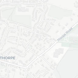
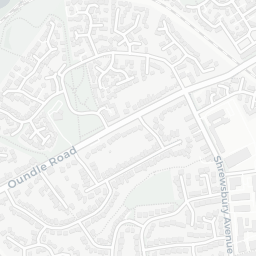
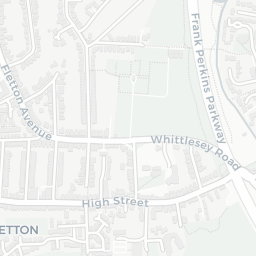
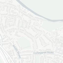
There are 43 schools within the typical catchment area, including 1 rated Outstanding by Ofsted and 26 rated Good. The nearest school is St Augustine's CofE (Voluntary Aided) Junior School (Ofsted: Good), within a short walk.
There were 29 crimes reported on the surrounding streets in the most recent month, indicating a moderate level of immediate-area crime.
Healthcare access is good, with 19 GP surgeries and 13 dental practices in the wider neighbourhood. The nearest GP practice is BOTOLPH BRIDGE COMMUNITY HEALTH CENTRE, about 8 minutes' walk away. A pharmacy is about 9 minutes' walk away.
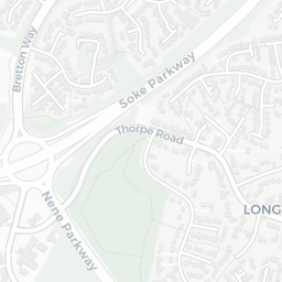
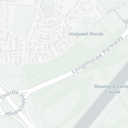
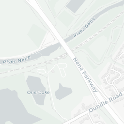
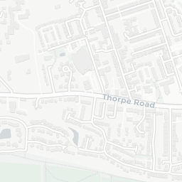
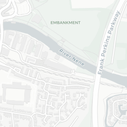
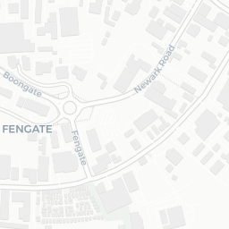
The nearest rail stations are Peterborough (Nene Valley Railway) (Tube/Metro, about 6 minutes' walk away).
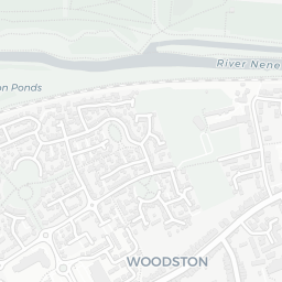
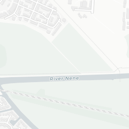
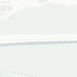
The location is in Flood Zone 1 (low risk — less than a 1 in 1,000 annual chance of river or sea flooding).
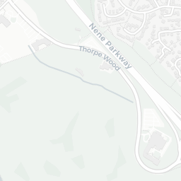
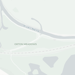
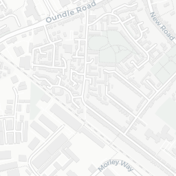
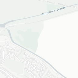
There are 18 green spaces within walking distance, totalling 14.7 hectares of parks and outdoor space. The nearest is The Church of St Augustine of Canterbury, within a short walk. It also lies just beside a nature reserve (about 9 minutes' walk away), adding open countryside that isn't recorded as a formal park.
There are 24 supermarkets in the wider area, including Tesco, Lidl, Budgens, Asda and others. The nearest is Tesco Peterborough Oundle Rd Express, within a short walk. A public library is about 3 minutes' walk away.
Sources: DfE/Ofsted, UK Police API, NHS ODS, NaPTAN, Environment Agency, Ordnance Survey, Natural England, DEFRA, Geolytix and Arts Council England. For an interactive map view, explore PE2 9DH on NestScope.